The shortest route to an unguarded cliff edge in Yosemite, Taft Point offers close encounters with The Fissures — granite cracks that drop 2,000 feet straight down — plus head-on views of El Capitan's northwest face. It's a quick walk on Glacier Point Road that trades the crowds at Glacier Point proper for something more immediate and less safe.
Trail Details
- 🏃Activities
- Hiking
- 📊Difficulty
- Moderate
- 🔁Trail Type
- out and back
- 📏Distance
- 2.2 miles
- ⬆️Elevation Gain
- 200 ft
- 📍Location
- CA
- 🐕Dogs Allowed
- No
- 💵Fee
- Free
Overview
This trail starts in forest and ends on bare granite at the edge of nothing. You'll share a trailhead with Sentinel Dome hikers, but your route heads west through mixed conifers and meadow patches before opening onto the exposed rim above Yosemite Valley. The destination is a granite promontory that juts into space 3,000 feet above the Valley floor, with no railings or barriers between you and the drop.
The Fissures are the main attraction beyond the views — deep, narrow fractures in the granite that create natural windows to the Valley below. Some of these cracks extend down hundreds of feet, and you can peer straight through them to see climbers on El Capitan's walls far below. The largest fissures are wide enough to step across, but the drop is immediate and fatal.
What to Expect
The trail descends 200 feet from the trailhead at 7,700 feet, following a clear path that crosses Sentinel Creek before opening onto the granite slabs. The first half winds through shaded forest, then you emerge onto exposed rock with no cover from sun or weather. One section near the creek can get muddy, but the trail is otherwise straightforward.
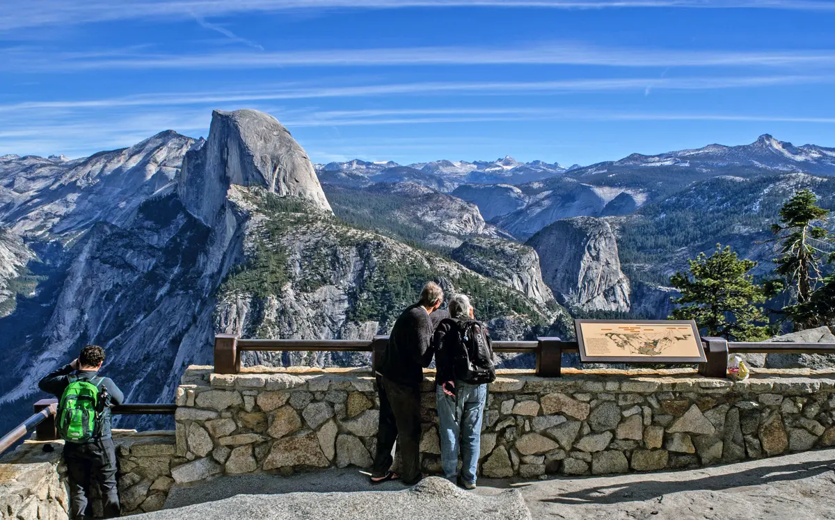
At Taft Point itself, you're standing on a granite shelf with panoramic Valley views. El Capitan fills the northern horizon, close enough to spot climbing routes with binoculars. Yosemite Falls appears across the Valley, and you can trace the rim trail that connects Glacier Point to the east. The perspective here is different from Glacier Point — lower and more intimate, without the infrastructure.
The Fissures run parallel to the cliff edge, creating a maze of granite fins and gaps. The larger cracks are 10 to 20 feet wide and extend down into darkness. Smaller fissures are barely shoulder-width but equally deep. These are natural joints in the granite, formed by geological stress over millions of years, and they continue to widen gradually.
Tips & Logistics
Access depends entirely on Glacier Point Road, which closes with snow from late October or November through late May or June. Check road conditions before driving up — closures can happen suddenly with early or late storms. The trailhead is 13 miles up Glacier Point Road from Highway 41, two miles before Glacier Point proper.
Parking is limited to a small lot with primitive restrooms, though overflow parking is available along the road. Weekend and holiday traffic can fill lots by mid-morning during peak season. From May through October, you'll need a day-use reservation for entry to the park during certain periods — check current requirements before driving up.
Bring water; there's none available past the trailhead. The exposed granite at trail's end offers no shade, and afternoon sun can be intense. Weather changes quickly at this elevation, and lightning is a serious concern on the exposed rim during thunderstorms.
Exercise extreme caution at the overlook. People have died here, including a 2018 incident where two visitors fell 800 feet. The granite can be slippery when wet, and loose gravel near the edge increases the hazard. Parents should maintain physical control of children at all times. The lack of barriers is deliberate — this is wilderness, not an amusement park.