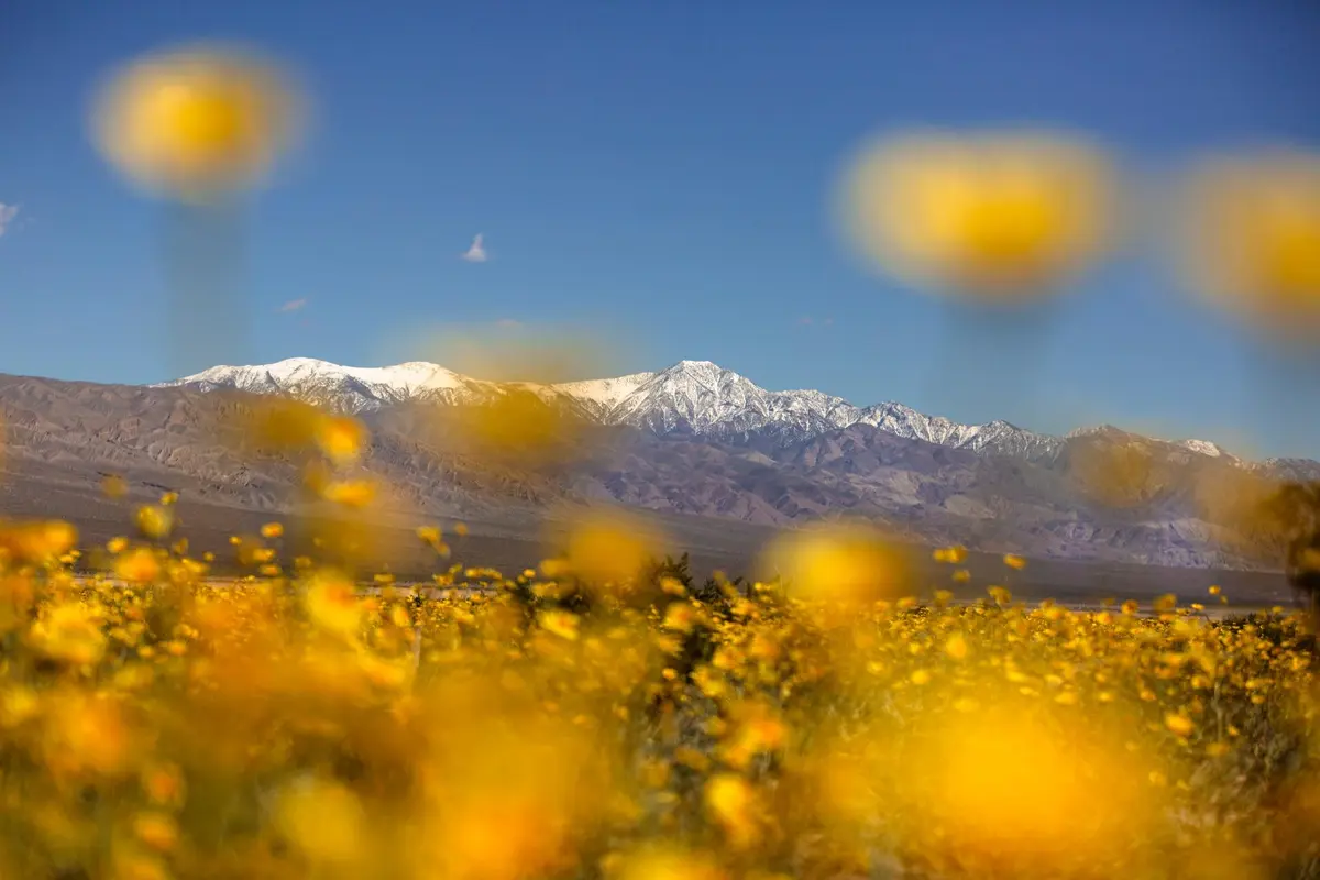
Surprise Canyon cuts a steep line through the Panamint Range, climbing from desert floor to ghost town through narrows, cascades, and permanent water. The route to Panamint City isn't a trail in any conventional sense — it's a scramble up creek beds and over boulders, following the path of least resistance through one of Death Valley's most dramatic elevation gains.
Trail Details
- 🏃Activities
- Hiking
- 📊Difficulty
- Hard
- 🔁Trail Type
- out and back
- 📏Distance
- 10 miles
- ⬆️Elevation Gain
- 4,000 ft
- 📍Location
- CA
- 🐕Dogs Allowed
- No
- 💵Fee
- Free
Overview
The approach sets expectations immediately. Chris Wicht Camp, the trailhead, sits at the end of a rough dirt road that eliminates casual visitors. From there, the route follows Surprise Canyon Creek through tight narrows where water flows year-round, fed by springs bubbling from canyon walls. This is desert hiking with wet feet guaranteed — a strange combination that defines the experience.
The first two miles demand patience and route-finding skills. Water pools force scrambles over slick rock. Side channels branch and rejoin. The canyon walls close in, then open up, then squeeze tight again. Progress is slow, measured in hours rather than miles. After the initial narrows, the gradient moderates slightly, but the creek remains your constant companion.
Panamint City rewards the effort with genuine ruins rather than tourist reconstructions. The 65-foot brick smokestack from the old mill rises from sagebrush at 6,500 feet, a monument to silver boom optimism and Mojave reality. The ghost town occupies a natural bench where multiple drainages converge, explaining why prospectors chose this spot despite the brutal supply lines.
What to Expect
The creek creates its own microclimate. Cottonwoods and willows cluster around permanent pools, offering rare shade in an otherwise exposed landscape. Spring water is cold and reliable, but filter everything — this isn't pristine wilderness. Mining operations left their mark, and modern visitors aren't always careful.
Navigation is straightforward in concept, complex in execution. Follow the water uphill. When the canyon forks, the main flow usually indicates the correct route, but not always. GPS helps, but the real skill is reading terrain and understanding where water wants to go. Rock cairns appear sporadically, but don't count on them.
The elevation gain hits harder than expected. Desert air is thin, sun exposure is relentless when you're out of the narrows, and the scrambling demands constant attention. The old truck at 1.2 miles provides a mental checkpoint. Brewery Spring at 3.5 miles marks the halfway point and offers a guaranteed water source if the lower creek is running low.
Tips & Logistics
April through May and September through November offer the best conditions. Summer temperatures make this route dangerous, even with the creek water. Winter brings flash flood risk and ice in shaded pools. Check recent weather before committing.
The access road requires high clearance. Four-wheel drive isn't mandatory in dry conditions, but the final miles to Chris Wicht Camp will test your vehicle's suspension and your patience. Park entrance fees apply, and backcountry camping permits are recommended for overnight stays, though they're free.
Water is reliable throughout the route, but carry purification. The creek runs year-round, but flow varies seasonally. Camping is best near Panamint City, where flat spots are plentiful and water is guaranteed. Lower in the canyon, decent sites are scarce and flash flood potential is higher.
Approach this as scrambling, not hiking. Waterproof boots or shoes you don't mind soaking are essential. Trekking poles help with balance on wet rock. A headlamp is crucial if you're running late — the narrows are dark even in daylight, and progress slows dramatically after sunset.