Split Rock serves as Joshua Tree's gentle introduction to desert hiking — a 2.5-mile loop that delivers the park's signature granite formations without the navigation challenges of longer backcountry routes. The trail's namesake dominates the trailhead, a massive boulder cleaved down the middle, while the route itself winds through washes and over rock slabs past Joshua trees and cholla gardens.
Trail Details
- 🏃Activities
- Hiking
- 🔁Trail Type
- loop
- 📏Distance
- 2.5 miles
- ⬆️Elevation Gain
- 150 ft
- 🪨Surface
- sand and rock
- 🌤️Best Seasons
- october, november, december, january, february, march, april, may
- 📍Location
- CA
- 🐕Dogs Allowed
- No
- 💵Fee
- Free
Overview
This is desert hiking at its most approachable. The 150 feet of elevation gain spread across the loop means you're dealing with rolling terrain rather than any sustained climbs. The trail moves through classic Mojave Desert habitat — sandy washes between granite outcrops, scattered Joshua trees, and the occasional cholla garden that'll teach you to watch your step.
Split Rock itself anchors the experience from the start. The formation looms over the trailhead parking area, split cleanly down the middle like it was designed for a geology textbook. A small cave hides within the split, accessible from the trail as it drops down and curves around the rock's base about a quarter-mile in.
The route character shifts as you progress. Early sections follow sandy washes between boulders before the trail climbs onto rockier ground with sand and gravel surfaces. Stone steps appear on the steeper sections, a thoughtful touch that prevents erosion and makes footing more secure.
What to Expect
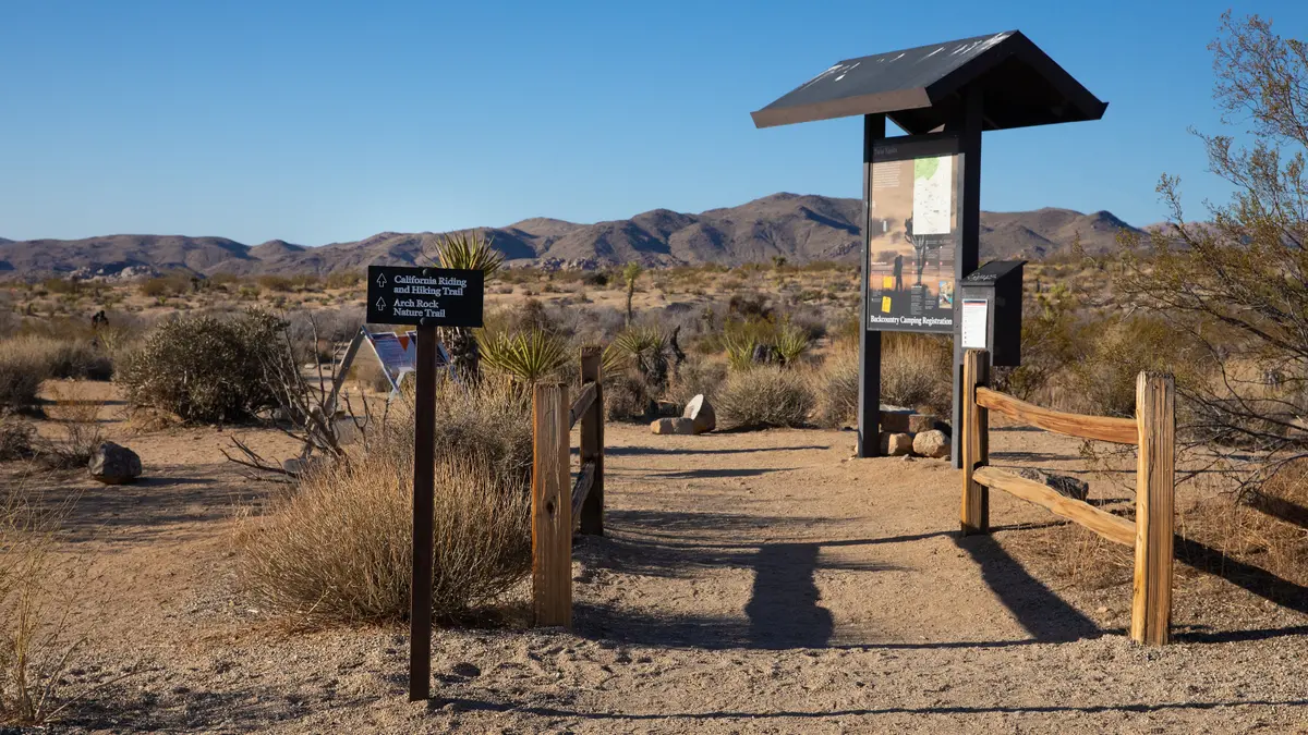
Navigation requires attention but won't test your orienteering skills. The trail intersects with several washes and social trails — unmarked paths created by foot traffic — so staying alert to the official trail markers prevents wrong turns. At roughly 1.25 miles, a short spur branches right toward Face Rock, adding about 0.1 mile if you take the detour.
The terrain underfoot varies from sand in the washes to solid rock slabs where the trail crosses granite surfaces. Nothing technical, but the mixture keeps you engaged with where you're stepping. Large boulders provide occasional wind breaks and photo opportunities, though actual shade remains scarce throughout the route.
Wildlife tends toward the typical desert cast: roadrunners, desert tortoises (protected — observe but don't approach), and various lizard species. Early morning or late afternoon increases your chances of sightings when animals are more active.
Tips & Logistics
Getting to the trailhead requires a short drive on dirt road, but it's suitable for any vehicle. The turnoff from Park Boulevard is clearly marked and located 10.4 miles from Oasis Visitor Center. The medium-sized parking lot includes picnic tables and a primitive toilet — useful for families planning to make a morning of it.
Water strategy is straightforward: bring more than you think you need. No natural sources exist along the route, and desert air pulls moisture from your system faster than mountain hiking. The complete lack of shade compounds this effect.
Cell service disappears once you leave the main park road, so download offline maps if you're relying on phone navigation. The trail markers should be sufficient, but having backup never hurts in unfamiliar terrain.
Summer hiking here borders on dangerous due to extreme heat and zero shade. October through April offers the best conditions, with winter mornings sometimes requiring light layers that you'll shed within the first half-mile. Spring brings wildflower blooms if winter rains have been adequate, though timing is unpredictable.
The 1-1.5 hour completion time works for most hikers, but factor in photography stops and the Face Rock detour if you're planning around other park activities. Starting before 9 AM during summer months isn't just recommended — it's essential for safety.