Sidewinder Canyon delivers slot canyon adventure without the crowds of Death Valley's better-known routes. The approach follows a wide gravel wash, but the real draw lies in three narrow slot canyons that branch off the main route, each requiring scrambling over vertical drops and squeezing through passages barely shoulder-width wide.
Trail Details
- 🏃Activities
- Hiking
- 📊Difficulty
- Moderate
- 🔁Trail Type
- out and back
- 📏Distance
- 5 miles
- ⬆️Elevation Gain
- 1,580 ft
- 📍Location
- CA
- 🐕Dogs Allowed
- No
- 💵Fee
- Free
Overview
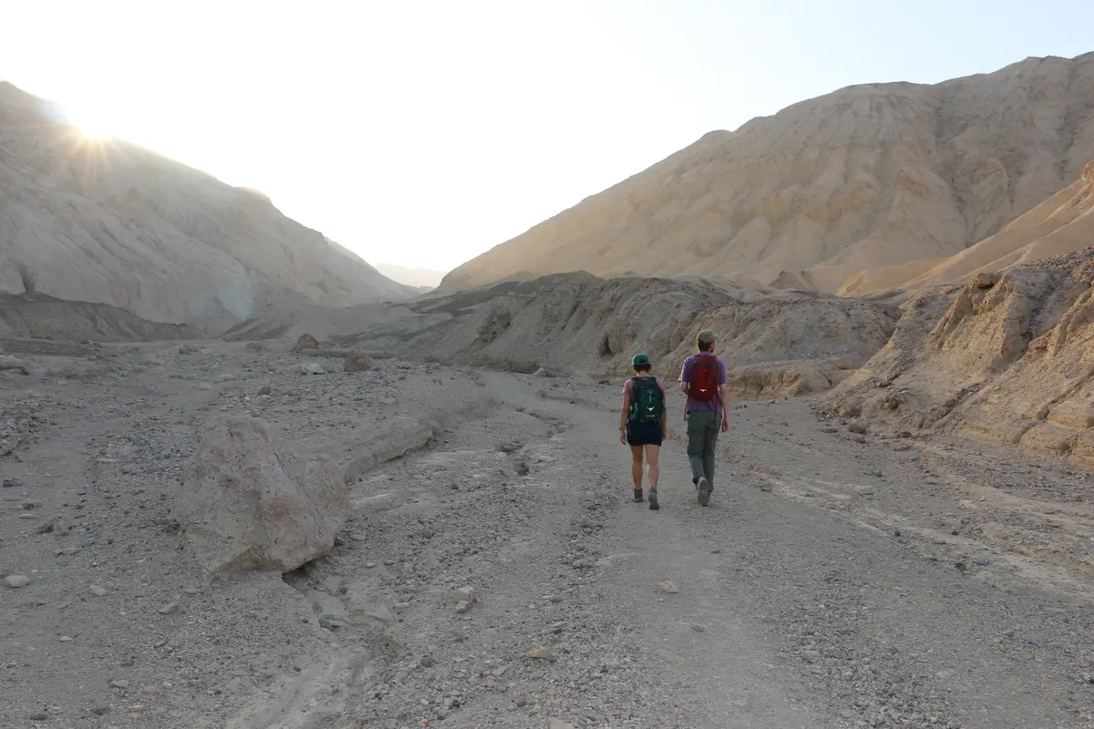
The canyon sits at the base of the Black Mountains, about 32 miles south of Furnace Creek on Badwater Road. What starts as an easy walk up a broad wash transforms into technical terrain once you enter the slots. The rock here is conglomerate — ancient alluvial fan debris that's been cemented together but remains loose and crumbly in places. This makes for interesting geology but demands careful foot placement.
The main canyon extends roughly 2 miles from the trailhead, but most hikers focus on the three slot canyons that branch off the south wall. Each slot has its own character and challenges. The first is the shortest at about 0.1 mile, while the third reaches up to around 400 feet above sea level from the trailhead's position at 240 feet below.
What to Expect
From the parking area, a faint use trail leads south across a rough alluvial fan toward the canyon mouth. The main wash is wide with 40-foot stone walls and a gravel bottom — straightforward hiking that serves as a warm-up for what's ahead.
The slot canyons require genuine scrambling. Expect vertical ledges over 6 feet high that you'll need to climb using hands, knees, and elbows. Some passages narrow to 1.5 feet wide, forcing you to squeeze through sideways. One section goes completely dark and requires a headlamp or flashlight to navigate safely.
The walls in the slots reach 40 to 75 feet tall on average, creating dramatic light and shadow play. The conglomerate rock shows its composite nature clearly — you can see the rounded stones and debris that formed these ancient alluvial fans, now locked in vertical walls.
Tips & Logistics
The trailhead sits between mile markers 31 and 32 on Badwater Road. Look for an unmarked gravel road on the east side; it leads half a mile to the parking area. There's no signage at the trailhead, and the route has only occasional cairns for guidance. Bring a GPS unit or phone with offline maps.
This is wilderness area hiking with wilderness rules — no dogs allowed. The park entrance fee applies. Plan for about 3 hours if you explore all three slots, though you could easily spend longer if you're methodical about the scrambling sections.
The loose rock demands good footwear with aggressive tread. Gloves help when climbing the vertical sections. Bring more water than you think you need; the below-sea-level start means you're climbing the entire way, and the scrambling is more strenuous than regular hiking.
Check road conditions before heading out. Badwater Road can close due to flooding, and the access road, while well-graded, requires attention in a regular vehicle. High clearance isn't mandatory, but it doesn't hurt.
The canyon faces east, so morning light provides the best photography conditions in the slots. Afternoon visits mean working in shadow, which can actually be preferable for scrambling comfort during warmer months.