The Pine City Trail threads through one of Joshua Tree's quieter corners, trading the park's famous boulder piles for dense stands of pinyon pine and juniper. This moderate desert walk climbs gently through varied terrain to an abandoned mining site with sweeping views into Pine City Canyon—a good choice when you want solitude without the navigation challenges of true cross-country travel.
Trail Details
- 🏃Activities
- Hiking
- 📊Difficulty
- Moderate
- 🔁Trail Type
- out and back
- 📏Distance
- 4 miles
- ⬆️Elevation Gain
- 500 ft
- 🪨Surface
- hard pack dirt, soft sand, rocks
- 🌤️Best Seasons
- october, november, december, january, february, march, april, may
- 📍Location
- CA
- 🐕Dogs Allowed
- No
- 💵Fee
- Free
Overview
Pine City sits in the transition zone between Joshua Tree's two desert ecosystems, where elevation gains you pinyon-juniper woodland instead of the sparse creosote flats below. The trail itself feels different from the park's boulder-scrambling classics—more like hiking through Nevada high desert than the Mojave you expect.
The route follows an old mining access, which explains the relatively gentle grade despite crossing varied desert terrain. You'll walk through hard-packed dirt, soft sand washes, and rocky sections, with the trail width varying from tight single-track to broader mining roads. The destination isn't dramatic in the Skull Rock sense, but the views from the mining site stretch across Pine City Canyon toward the northern park boundary and Twentynine Palms beyond.
What to Expect
The first 1.25 miles parallel a wash as the trail climbs gradually through increasingly dense woodland. You're gaining about 400 feet per mile here, but the grade stays manageable. The terrain shifts as you go—expect to cross the wash about halfway through, then continue northwest for another 0.6 miles to a trail junction where you can extend the hike.
The mining site itself requires some caution. Two mine shafts remain in the area, and the park service appropriately warns against entering any mining structures. Treat this as a historical site rather than an exploration opportunity.
From the main destination, you can push north for another half-mile to an overlook of the park's northern entrance—worth the extra effort if you have time and energy. The total elevation gain for the extended route approaches 500 feet, still well within moderate territory.
Tips & Logistics
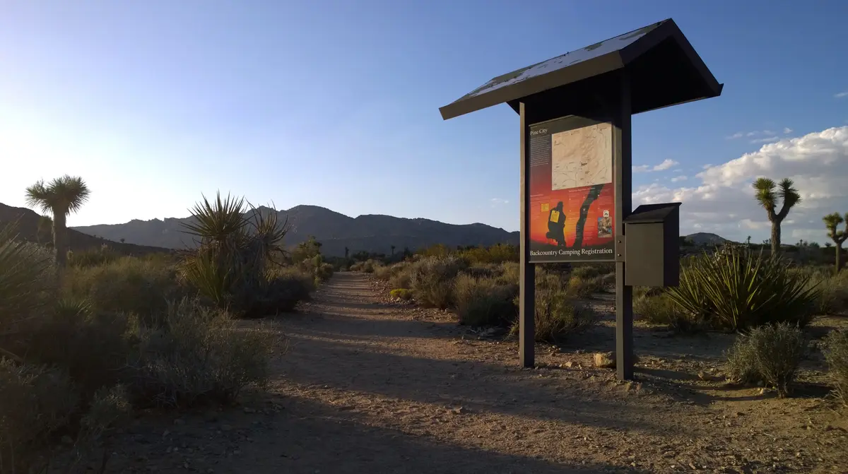
Access via Desert Queen Mine Road, which branches off Park Boulevard near Jumbo Rocks. The maintained dirt road runs 1.3 miles to a small parking area shared with the Desert Queen Mine trailhead—your regular car will handle this fine since the park service grades the road. Facilities are minimal: a primitive toilet but no water.
Water planning follows standard Joshua Tree protocol. Carry at least a liter per person, more in warmer months. The trail offers no shade and no cell service, so prepare accordingly. Summer hiking means starting before 10 AM and carrying extra water—temperatures regularly exceed 100°F from May through September.
The optimal window runs October through April, when morning starts are pleasant and afternoon temperatures stay reasonable. Winter can be surprisingly cool at this elevation, especially in early morning or late afternoon.
Backpacking requires a permit ($6 for groups up to 12 people), with registration at the trailhead. The three-night limit per zone keeps things moving for others wanting backcountry access.
Navigation stays straightforward—this isn't the place to test your cross-country skills. The established trail and mining road traces are clear enough that you can focus on the experience rather than route-finding. Just remember that pets aren't allowed, though service animals are welcome on leash.