Ostrander Lake sits at 8,500 feet in Yosemite's quieter granite country, reached by a 12-mile round-trip that climbs 1,500 feet through recovering forest and opens to views of the Clark Range. Unlike the Valley's crowds, this trail from Glacier Point Road delivers solitude and a proper workout, with most of the elevation gain packed into the final push to Horizon Ridge.
Trail Details
- 🏃Activities
- Hiking
- 📊Difficulty
- Hard
- 🔁Trail Type
- out and back
- 📏Distance
- 12 miles
- ⬆️Elevation Gain
- 1,500 ft
- 📍Location
- CA
- 🐕Dogs Allowed
- No
- 💵Fee
- Free
Overview
The Ostrander Lake trail splits the difference between Yosemite's busy corridors and its remote wilderness. You're hiking through country that shows its scars and recovery — the first half passes through areas burned in a 1987 lodgepole pine forest fire, where new growth pushes through blackened snags. It's a lesson in forest succession played out at hiking pace.
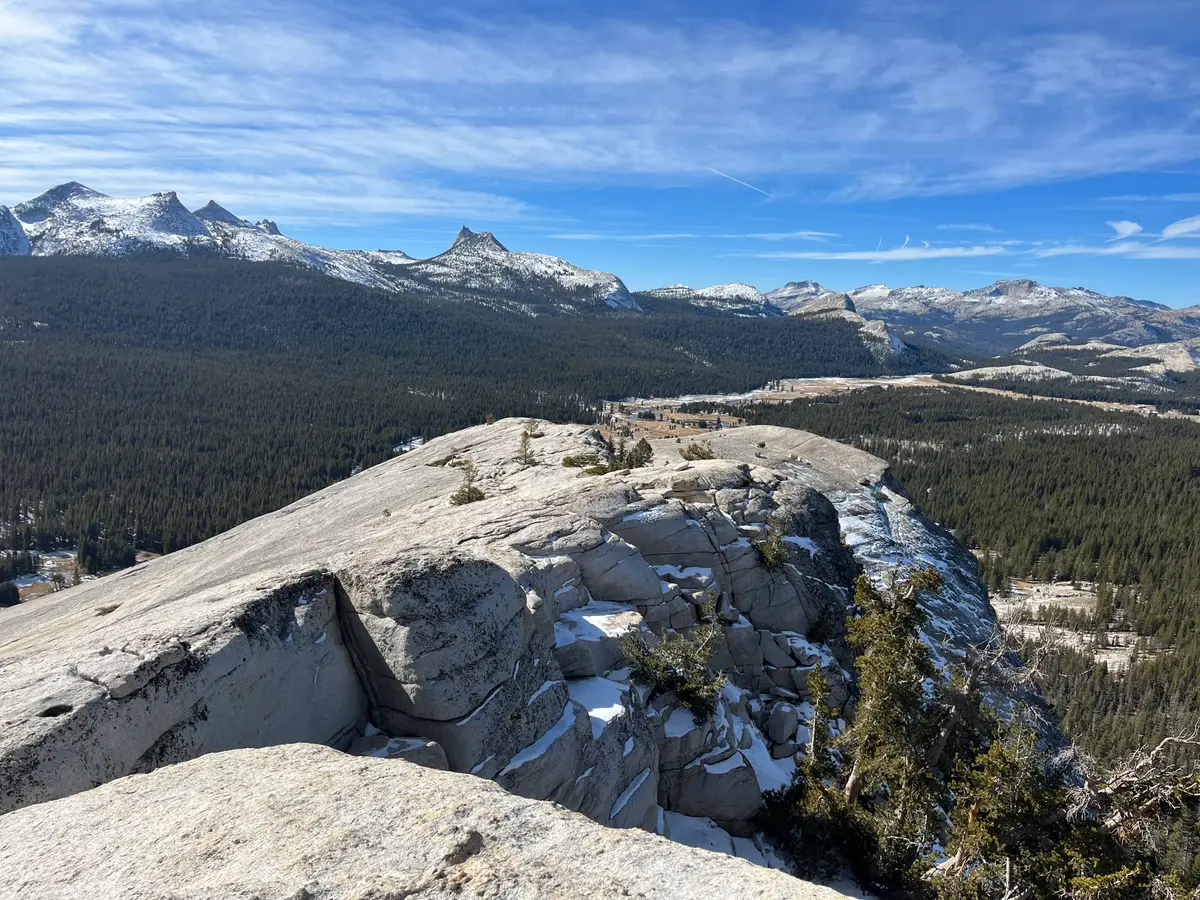
The route follows a classic Sierra pattern: gentle approach, then a serious climb. The first three miles roll through forest and meadow with minimal elevation gain. Then the trail gets down to business, climbing steadily for three miles to reach Horizon Ridge at 8,720 feet before dropping to the lake. The final approach rewards the effort with views of granite domes, Mount Starr King, and the jagged Clark Range.
What to Expect
The trailhead sits at 7,000 feet, nine miles down Glacier Point Road from the Valley. You'll find a large parking area, vault toilet, and food storage lockers — the full infrastructure setup that suggests this trail sees regular use.
Early miles thread through fire-scarred forest where lodgepole pines are slowly reclaiming burned ground. The meadows here can be marshy in late May and early June, and they harbor mosquitoes through much of summer. Pack repellent.
The character changes as you gain elevation. The gentle opening gives way to a sustained climb that gains about 1,500 vertical feet over the final three miles — roughly a 10% grade that will test your legs. This is where the trail earns its "hard" rating. The reward comes at Horizon Ridge, where the granite landscape opens up and you can see the lake below.
Ostrander Lake itself sits in a granite basin with views extending to the high peaks. A stone ski hut built in 1941 occupies the north shore — it sleeps 25 people during winter months when cross-country skiers make the journey from Badger Pass.
Tips & Logistics
Timing is everything. Glacier Point Road typically opens in late May and closes with the first significant snow in October or November. Call 209/372-0200 for current conditions — this road is your only vehicle access to the trailhead.
Budget 8-10 hours for the round trip. The return descent is easier on the lungs but harder on the knees, and the final three miles back through relatively flat terrain can feel longer than expected when you're tired.
Water is available at the lake, but bring treatment. The marshy meadows in the early miles aren't reliable water sources — better to carry what you need for the approach.
Overnight parking is prohibited starting October 15, effectively ending the backpacking season even if the road remains open. For day hiking, the large trailhead parking area handles weekend crowds, but arriving early never hurts.
Winter transforms this into cross-country ski terrain when Badger Pass operates. The road gets groomed for skiing beyond the ski area, turning the summer hiking trail into a winter touring route. The ski hut opens December through March for those willing to earn their turns.