Moro Rock is a 350-step stone staircase that climbs 300 feet up a granite dome to one of the most commanding viewpoints in the Sierra Nevada. At 6,725 feet, the summit overlooks the Great Western Divide and the deep canyons that define this section of the range. It's the most accessible panoramic viewpoint in Sequoia National Park, requiring more nerve than fitness.
Trail Details
- 🏃Activities
- Hiking
- 🔁Trail Type
- out and back
- 📏Distance
- 0.25 miles
- ⬆️Elevation Gain
- 300 ft
- 🪨Surface
- stone and concrete stairway
- 📍Location
- CA
- 🐕Dogs Allowed
- No
- 💵Fee
- Free
Overview
The trail itself is entirely artificial — a stone stairway built in 1931 that switchbacks up the rounded face of a granite dome. Handrails line the entire route, but the exposure is real. You're walking up what amounts to a steep, rounded cliff face with thousand-foot drop-offs on multiple sides. The engineering is solid, but this isn't a walk in the woods. Small children need constant supervision, and anyone uncomfortable with heights should reconsider.
The payoff comes at the 6,725-foot summit, where the Great Western Divide spreads out to the east — a jagged line of peaks that separate the Kaweah drainage from the Kern River country. On clear days, you can trace the high country from Mount Whitney north toward Kings Canyon. It's the kind of view that puts the rest of Sequoia's landscape in perspective.
What to Expect
The 797-foot stairway gains 300 feet in a quarter mile, making this more of a vertical ladder than a traditional trail. The steps are uneven — this is mortared stone, not uniform concrete — and the grade is relentless. Most people need 20-25 minutes to reach the top, with another 20 minutes down.
The granite dome itself is classic Sierra Nevada geology: light-colored, coarse-grained rock that's been rounded and polished by glacial action. The stairway follows natural fractures and ledges in the rock, but you're essentially climbing the outside of a giant stone bubble. The handrails are sturdy, but the exposure increases as you climb higher.
Weather changes quickly at this elevation. Afternoon thunderstorms are common in summer, and lightning strikes are a real concern on an exposed granite summit. The park service is clear about this: if storms are building, get off the rock immediately.
Tips & Logistics
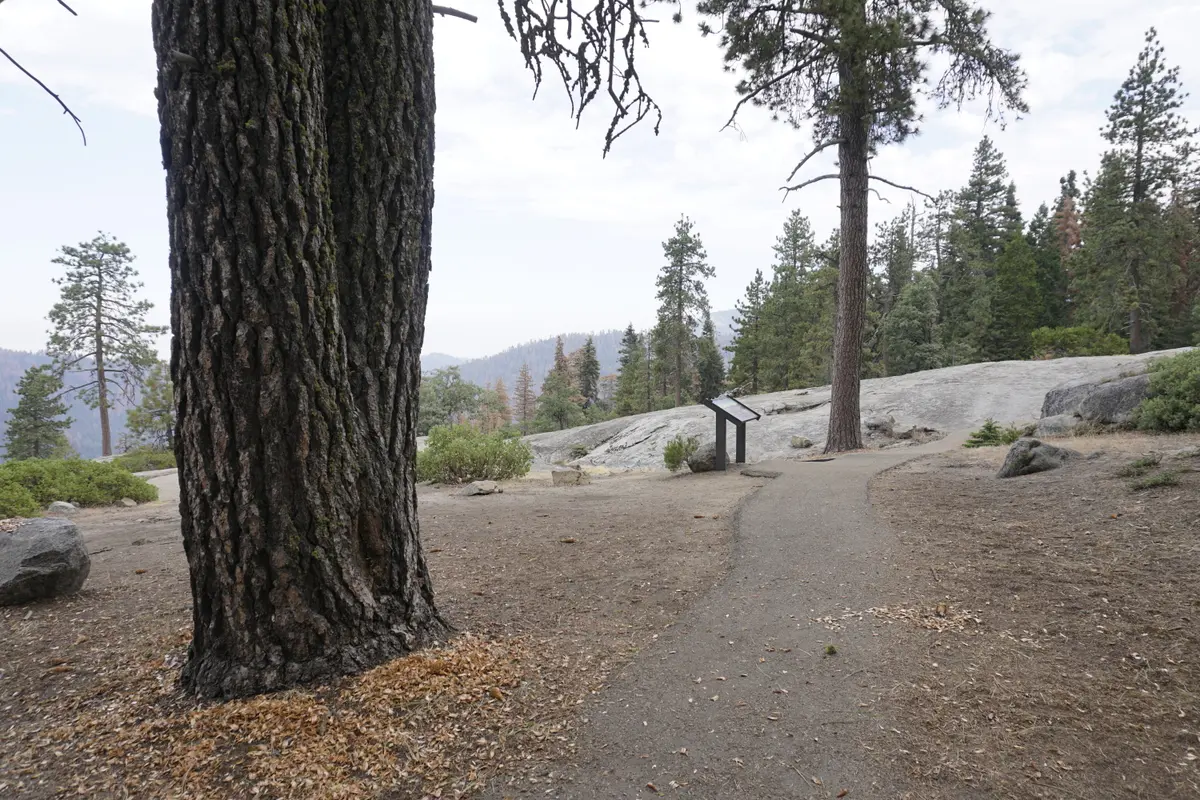
Parking is the main logistical challenge. The lot at the base holds just 18 vehicles, and it fills early. Arrive before 10 a.m. or plan to use the free shuttle system that operates from late May through early September. On summer weekends, the road closes to private vehicles entirely, making shuttles the only option.
The shuttle runs from Giant Forest Museum to the Moro Rock parking area — a two-mile road that saves you from a longer approach hike. If you're driving in the off-season when shuttles aren't running, the same two-mile road is your route to the trailhead.
Winter access is complicated. Snow typically closes Moro Rock/Crescent Meadow Road from October through June, requiring a 1.5-mile road walk to reach the base of the stairway. More critically, the stairway itself closes when snow or ice is present. The combination of granite, moisture, and steep steps creates genuinely dangerous conditions.
The climb requires no special gear, but good footwear matters. The stone steps can be slick when wet, and the uneven surfaces demand attention. Water isn't available on the route, though the climb is short enough that most people won't need it.
Peregrine falcons nest on the rock face during summer months, leading to periodic closures for technical rock climbers. These restrictions don't affect the stairway route, but they're a reminder that Moro Rock is more than just a scenic overlook — it's active wildlife habitat in one of California's most important protected landscapes.