The Lester Point hike on San Miguel Island comes with an unusual requirement: a Park Service ranger walks alongside you, not for interpretation but for safety. This windswept island served as a bombing range for decades, leaving behind unexploded ordnance that makes solo exploration illegal. The mandatory escort transforms what could be a solitary coastal walk into something closer to a specialized tour.
Trail Details
- 🏃Activities
- Hiking
- 📊Difficulty
- Hard
- 🔁Trail Type
- out and back
- 📏Distance
- 5 miles
- 📍Location
- CA
- 🐕Dogs Allowed
- No
- 💵Fee
- Free
- 📋Permit Required
- Yes
Overview
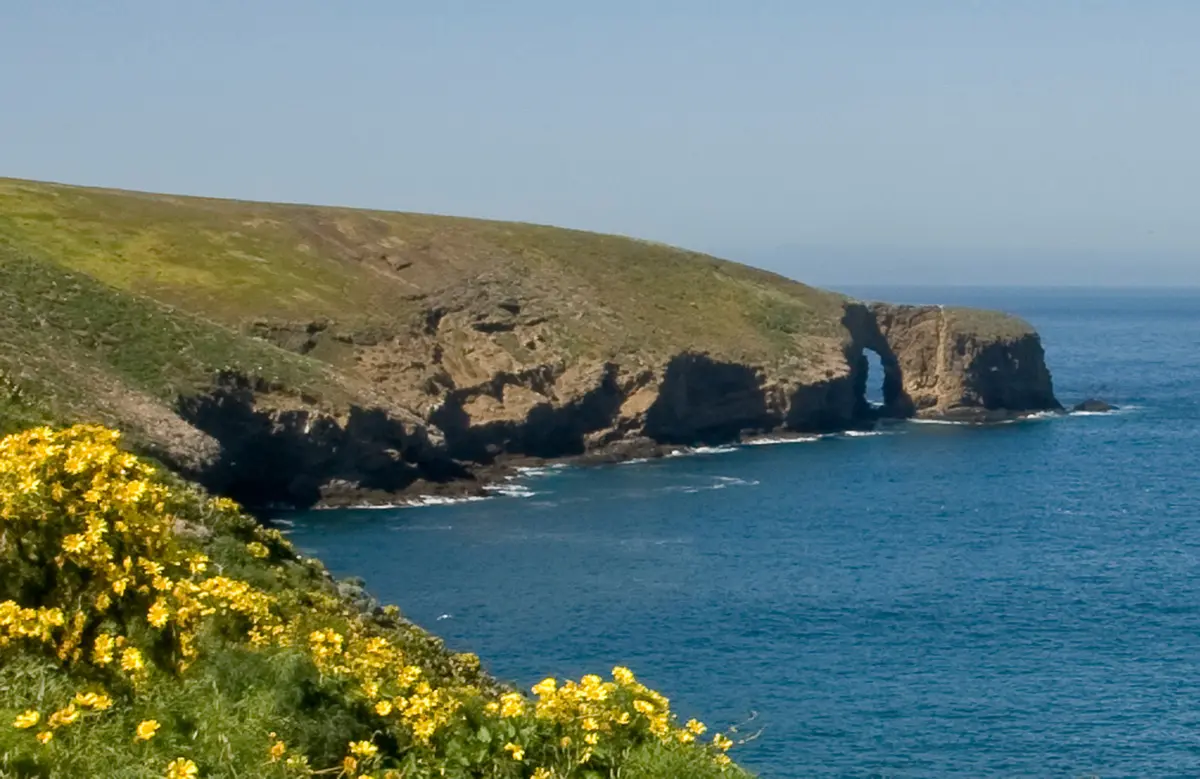
San Miguel sits at the far western edge of the Channel Islands chain, taking the full brunt of Pacific storms and winds that rarely let up. The Lester Point hike captures this raw exposure — three miles of walking above Cuyler Harbor where plants cling to marginal soil against constant wind. This isn't the Mediterranean charm of Santa Cruz Island. It's harsher, more elemental.
The trail meanders along bluffs that offer striking views across Harris Point and down into Simonton Cove, where sandy shores meet rugged coastline. The landscape feels stripped down to essentials: wind, grass, and the sound of waves below. Rangers describe this as one of the most fragile areas on San Miguel, where the combination of poor soil and relentless wind creates conditions that push vegetation to its limits.
What to Expect
You'll start from the Lester Ranch site near Cuyler Harbor, where three island trails converge. The route to Lester Point heads north, giving you views of Prince Island to the east and Simonton Cove stretching west. The terrain itself isn't technically challenging — no scrambling or serious elevation gain — but the constant wind makes every step more tiring than you'd expect.
Rangers rate all San Miguel trails as moderately strenuous, not because of distance or elevation but because walking in persistent wind wears you down faster than calm conditions. The landscape is deceptive: what looks like easy walking from the boat becomes a workout when you're leaning into 20-30 mph gusts for three hours.
The guided nature means you move at the group's pace and follow the ranger's schedule. This isn't necessarily slower than hiking alone, but it's different. You can't linger at viewpoints or turn back early if conditions get rough.
Tips & Logistics
Getting to San Miguel requires planning around Island Packers' limited schedule from Ventura Harbor. The crossing takes about three hours and often involves rough seas — this isn't the trip for anyone prone to seasickness. Ferry schedules are seasonal and weather-dependent, with frequent cancellations during winter storms.
Once on the island, guided hike departure times get announced during the mandatory visitor orientation after your arrival. You can't book specific hikes in advance; it depends on ranger availability and group size. Day trips are possible but tight — you're at the mercy of the ferry schedule and whatever hikes are offered that day.
Bring wind protection that actually works. A light windbreaker won't cut it here. Think layers you can add and remove as you move between exposed ridges and slightly more sheltered spots. The combination of wind and sun can be deceptive — you'll feel cool but still get burned.
Water is critical since there are no sources on the island. Rangers recommend more than you think you'll need because the wind increases dehydration. The visitor center at Cuyler Harbor has limited supplies, so come prepared.
The best weather windows are typically late spring through early fall, but San Miguel's reputation for wind and fog holds year-round. Check recent conditions and ferry schedules well before committing to the trip. This island rewards flexible planning and punishes rigid itineraries.