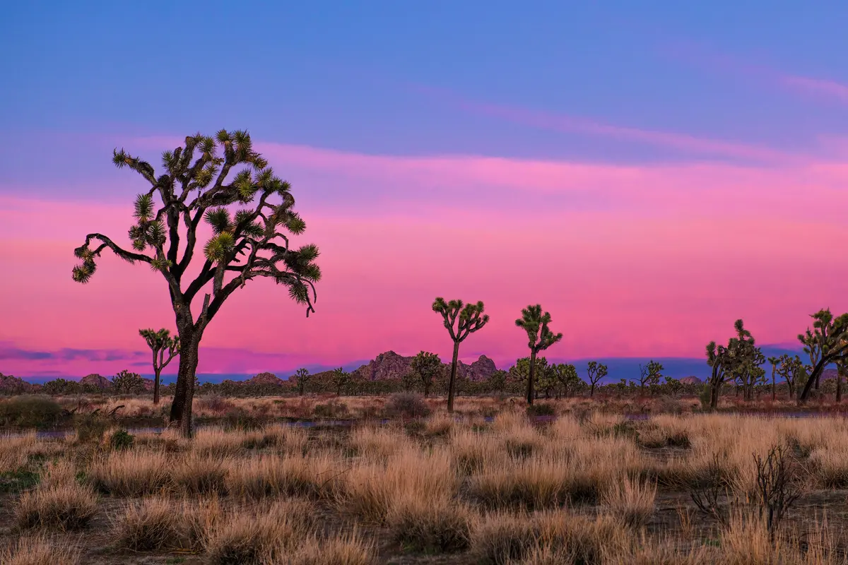
The Hi-View Trail climbs 400 feet through Joshua trees and boulder formations to reach a ridgetop with broad views across the Mojave. It's the Black Rock area's most direct route to elevation and the kind of moderate loop that rewards early morning starts with solitude and clear air.
Trail Details
- 🏃Activities
- Hiking
- 📊Difficulty
- Moderate
- 🔁Trail Type
- loop
- 📏Distance
- 1.3 miles
- ⬆️Elevation Gain
- 400 ft
- 🪨Surface
- deep sand, hard pack dirt, and uneven rocky surfaces
- 🌤️Best Seasons
- october, november, december, january, february, march, april, may
- 📍Location
- CA
- 🐕Dogs Allowed
- No
- 💵Fee
- Free
Overview
This is desert hiking distilled to its essentials: steady climbing, varied terrain, and a payoff vista that stretches across Joshua Tree's northern reaches. The trail starts flat through sandy washes before steepening considerably as it approaches the high point. Rock steps have been installed on the steeper sections, but the footing remains challenging in places — deep sand gives way to hardpack dirt and uneven rocky surfaces as you gain elevation.
The loop design means you're not retracing steps, and the trail widens and narrows unpredictably, from six feet across in the sandy sections to just two feet along some of the rocky ridgeline stretches. Several benches are positioned at strategic viewpoints, useful for water breaks and taking in the panoramic sweep of mountains that defines the Black Rock area's appeal.
What to Expect
The trail begins deceptively easy across flat sandy terrain, threading between large Joshua trees, pinyon pine, and juniper. This lower section offers a good introduction to the Mojave Desert's plant communities before the real work begins. As the trail steepens, you'll encounter the installed rock steps that make the ascent manageable but still require attention to foot placement.
The high point delivers sweeping views of the surrounding mountain ranges — the kind of 360-degree desert vista that justifies the climb. On clear days, the perspective extends well beyond the park boundaries, giving you a sense of Joshua Tree's position within the broader Mojave landscape.
Tips & Logistics
The trailhead sits at the end of a dirt road northwest of Black Rock Campground, reached by driving west from the campground entrance past the horse camp and water tank. Fair warning: the access road is bumpy enough that high-clearance vehicles are strongly recommended. The parking area is a small dirt lot that can accommodate maybe a dozen cars; anything longer than 20 feet will struggle with the turnaround.
On busy days, overflow parking is available at the horse camp area, but you cannot park in an actual campsite unless you've reserved it. The Black Rock area sees fewer crowds than the main park, but weekend mornings can still fill the lot.
Summer hiking here requires an early start — before 8 a.m. is the standard recommendation. The trail offers limited shade, and desert heat builds quickly once the sun clears the eastern ridges. Carry more water than seems reasonable; the combination of elevation gain, sandy footing, and desert air creates thirst faster than most people expect.
Bring a detailed map. The Hi-View Trail intersects with several other routes in the Black Rock area, and while the main loop is well-defined, the network of crisscrossing trails can be disorienting if you wander off course. Cell service is unreliable throughout the area, so don't count on GPS apps as backup navigation.
The trail remains accessible October through May, with the shoulder seasons offering the best combination of comfortable temperatures and clear skies. Winter can bring surprisingly sharp mornings, but afternoon temperatures usually climb into comfortable hiking range.