Fall Canyon cuts a deep slot through the Grapevine Mountains, offering Death Valley's most accessible taste of narrow-canyon hiking. The route follows an alluvial fan for a mile before dropping into a wash that leads to towering rock walls and a natural dead end at a dryfall.
Trail Details
- 🏃Activities
- Hiking
- 📊Difficulty
- Moderate
- 🔁Trail Type
- out and back
- 📏Distance
- 6 miles
- ⬆️Elevation Gain
- 2,460 ft
- 📍Location
- CA
- 🐕Dogs Allowed
- No
- 💵Fee
- Free
Overview
The appeal here is straightforward: a genuine slot canyon experience without the technical scrambling or remote access that defines most Death Valley routes. Fall Canyon delivers the park's signature geology—stark, crumbling walls in blacks and grays with hints of red and green—within range of a standard sedan.
The hike breaks into two distinct phases. The first mile crosses open alluvial fan deposits at the base of the Grapevine Mountains, following a footpath that offers no shade and little visual interest. This approach section explains why the route isn't recommended after 10 AM in summer; there's nowhere to hide from the sun until you reach the canyon mouth.
Once the trail drops into the wash and heads east toward the canyon proper, the character shifts completely. The walls close in and rise several hundred feet overhead. The walking surface becomes small, shifting pebbles that make progress surprisingly tiring despite the relatively gentle grade. The canyon narrows progressively until a dryfall blocks further travel at the 3-mile mark.
What to Expect
The trailhead sits at the end of a 2.7-mile graded gravel section of Titus Canyon Road. Most vehicles handle this approach without issue, though high clearance helps with confidence. The parking area includes a vault toilet—the only facilities you'll encounter.
The route is unsigned, which means paying attention to the terrain. The footpath behind the restroom is obvious enough, but the transition point where the trail drops into the wash requires some awareness. After about a mile northwest across the alluvial fan, look for where the path descends into the drainage.
From there, navigation is simple: follow the wash east until the canyon walls force a turnaround. The pebble surface that characterizes most of the route isn't difficult walking, but it's energy-sapping in a way that solid ground isn't. Factor this into your pace calculations.
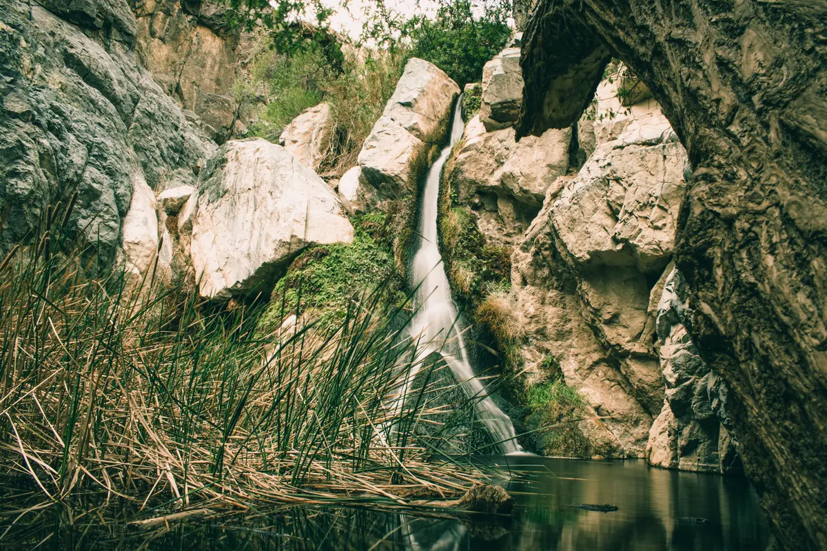
The canyon walls themselves are the main attraction. Death Valley's geology is famously exposed and readable, and Fall Canyon provides a textbook example. The rock layers tell the story of ancient seas, volcanic activity, and the massive tectonic forces that created the basin-and-range landscape.
Tips & Logistics
Timing is everything in Death Valley. The best hiking window runs from late fall through early spring—October through May covers the safe zone. Summer hiking here borders on dangerous, with the exposed approach crossing open ground where temperatures routinely exceed 100°F.
Even in the recommended season, start early. The lack of shade on the approach means morning starts are essential, and the park service specifically advises against hiking after 10 AM in summer for good reason.
Water strategy is non-negotiable: there's none available on the route, and the combination of dry air, elevation gain, and shifting pebble surface creates higher fluid needs than the mileage suggests. Carry more than you think you need.
The access road closes when Titus Canyon Road is impassable, which happens regularly after storms. Check current road conditions with the visitor center before making the drive. Large RVs and buses aren't recommended due to parking limitations.
Flash flooding is a legitimate concern in any Death Valley wash. Check weather conditions not just locally, but throughout the watershed before heading into the canyon. Desert washes can flood from storms miles away.