Little Baldy offers the Sierra's signature granite dome experience without the commitment of Half Dome or the crowds at Moro Rock. This 3.4-mile round-trip climb gains 790 feet through wildflower meadows to an 8,044-foot summit with unobstructed views of the Great Western Divide. It's the kind of hike that delivers maximum payoff for moderate effort.
Trail Details
- 🏃Activities
- Hiking
- 🔁Trail Type
- out and back
- 📏Distance
- 3.4 miles
- ⬆️Elevation Gain
- 790 ft
- 🪨Surface
- dirt
- 🌤️Best Seasons
- june, july, august, september, october, november
- 📍Location
- CA
- 🐕Dogs Allowed
- No
- 💵Fee
- Free
Overview
The trail follows a series of switchbacks up the south face of a granite dome that rises just over 8,000 feet. What sets Little Baldy apart from other Sierra viewpoints is its position — high enough to see over the intervening ridges, but accessible enough for an afternoon outing. The final approach crosses the dome's uneven granite surface to a summit with no safety rails and views in every direction.
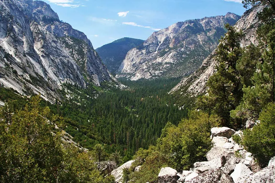
Most hikers complete the round-trip in under two hours, but the summit demands more time. On clear days, the western views can stretch to the San Joaquin Valley floor, while the eastern panorama takes in the serrated peaks of the Great Western Divide. The Kaweah Peaks and Sillman Crest fill the southern horizon.
What to Expect
The trailhead sits at the highest point on the Generals Highway, six miles north of Lodgepole. From the parking pullout, the trail immediately begins climbing through wildflower meadows that peak in midsummer. Three main switchbacks break up the ascent, with the final 200 feet gaining elevation more directly across the granite dome itself.
The dome's surface varies from smooth granite slabs to rough, fractured sections. Near the summit, the trail becomes less defined as it crosses the uneven granite. The final approach requires some basic scrambling over rock outcrops, but nothing that demands technical climbing skills.
Weather changes fast at 8,000 feet. Morning starts can encounter frost even in summer, while afternoon thunderstorms build quickly over the high peaks to the east. The exposed summit offers no shelter from wind or precipitation.
Tips & Logistics
Summer and fall provide the most reliable conditions, though the trail can be hiked year-round. Winter and early spring bring ice and deep snow that can linger into mid-June. If snow remains on the dome's surface, microspikes are necessary for safe travel.
Parking is limited to a few spots in the roadside turnout on either side of the Generals Highway. There are no designated accessible spaces, and the pullouts fill quickly on summer weekends. Early morning starts avoid both parking issues and afternoon thunderstorms.
The Generals Highway between Grant Grove and Lodgepole closes seasonally, typically October through June, depending on snow conditions. Check current road status before driving up from either direction. From the north, take Highway 180 east to the Generals Highway turnoff, then continue 17 miles to the trailhead. From the south, follow Highway 198 east to Foothills, then take the Generals Highway 26 miles through Lodgepole.
No water is available along the route, and the exposed nature of the hike demands adequate sun protection. The granite surface reflects heat and light intensely, making conditions feel warmer than the actual air temperature. Dogs are not permitted on park trails.
Park entrance fees apply, and the standard Sequoia and Kings Canyon entry requirements are in effect. No wilderness permits are required for this day hike.