Dewey Point delivers the south rim Yosemite Valley views without the crowds that pack Glacier Point. The 7.6-mile round-trip hike starts at McGurk Meadow and joins the Pohono Trail, trading the parking lot panorama for a quieter perch 3,300 feet above the Valley floor with full views of El Capitan.
Trail Details
- 🏃Activities
- Hiking
- 📊Difficulty
- Moderate
- 🔁Trail Type
- out and back
- 📏Distance
- 7.6 miles
- ⬆️Elevation Gain
- 750 ft
- 📍Location
- CA
- 🐕Dogs Allowed
- No
- 💵Fee
- Free
Overview
This trail occupies a sweet spot in Yosemite's hierarchy of viewpoints. You get the same granite theater as Glacier Point — El Capitan's massive face, the Valley's U-shaped profile carved by glaciers, the whole sweep of Yosemite's vertical world. But Dewey Point sits between the more famous Taft Point and Crocker Point, making it a refuge from the tour buses and selfie crowds.
The hike itself is surprisingly gentle. Despite gaining 750 feet over nearly four miles, the trail follows the natural contours of the south rim rather than grinding straight uphill. You'll have moderate climbs scattered throughout, but nothing that qualifies as steep by Sierra standards. Most of your energy goes toward distance rather than elevation.
What to Expect
The first stretch drops through lodgepole pine forest to McGurk Meadow, losing about 300 feet in 0.6 miles. Look for the ruins of the historic McGurk Cabin just before you reach the meadow — a reminder that this area saw grazing and settlement before becoming parkland. The meadow itself provides a brief open interlude before you re-enter forest.
At 1.8 miles, you connect with the Pohono Trail, the main route that links all the south rim viewpoints. Turn left toward Dewey Point, and the character shifts to the classic Sierra granite landscape — polished slabs, scattered Jeffrey pines, and glimpses through the trees of what's coming.
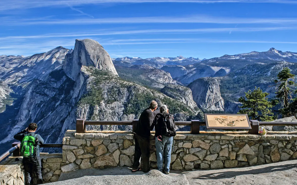
Dewey Point itself sits at 7,316 feet, a rocky platform with unobstructed views north across Yosemite Valley. El Capitan dominates the western end, its 3,000-foot face catching morning light. The Valley floor spreads below like a green ribbon, with the Merced River threading through meadows and oak groves. On clear days, you can trace the entire geological story — the granite formed deep in the Earth, sculpted by glaciers, and carved by water into this singular landscape.
Tips & Logistics
Glacier Point Road controls access to the McGurk Meadow trailhead. The road typically opens in late May or June and closes with the first significant snow in October or November. Check current conditions before making the drive — there's nothing more frustrating than a 50-mile round trip to find a gate.
The trailhead sits 7.6 miles up Glacier Point Road from Highway 41, with parking for about 40 cars. Arrive early during peak summer months; the lot fills by mid-morning on weekends. Plan on 4-6 hours for the round trip, depending on how long you linger at the viewpoint.
Water is the limiting factor. There are no reliable sources along the route, so carry what you need for the full day. In summer heat, that means more than you think — the combination of elevation and granite reflection can be dehydrating.
Winter transforms the experience entirely. When Glacier Point Road closes, the trail becomes a snowshoe or cross-country ski route accessible from Badger Pass. The Park Service occasionally offers guided winter trips, turning a summer day hike into a full winter adventure. Check with Badger Pass for current programs and snow conditions.
The standard park entrance fee applies, and overnight camping requires permits from the Yosemite Valley Visitor Center. If you're planning to camp, stay at least 100 feet back from the cliff edge — the granite can be unstable, and the drop is unforgiving.