Contact Mine delivers what most Joshua Tree day hikes don't: a legitimate destination with actual history to explore. This four-mile round-trip to a 1920s mining site trades the park's usual nature-walk format for a bit of desert route-finding and a payoff that goes beyond just another viewpoint.
Trail Details
- 🏃Activities
- Hiking
- 🔁Trail Type
- out and back
- 📏Distance
- 4 miles
- ⬆️Elevation Gain
- 700 ft
- 🪨Surface
- sand and hard-packed dirt with rock steps
- 🌤️Best Seasons
- december, january, february, march, april, may, september, october, november
- 📍Location
- CA
- 🐕Dogs Allowed
- No
- 💵Fee
- Free
Overview
The Contact Mine Trail splits into two distinct experiences. The first half follows a sandy wash — easy walking but requiring basic navigation to find your exit point. The second half climbs an old mining road to the actual site, where you'll find three enclosed vertical shafts, winch remnants, and the bones of a small operation that pulled silver and gold from these hills a century ago.
This isn't a maintained trail in the national park sense. You're following an old use route marked by cairns and red hiker signs, then finishing on what's left of a mining road. The terrain demands attention but never gets technical. Most of the 700 feet of elevation gain hits in the final stretch up the rocky slopes to the mine site.
What to Expect
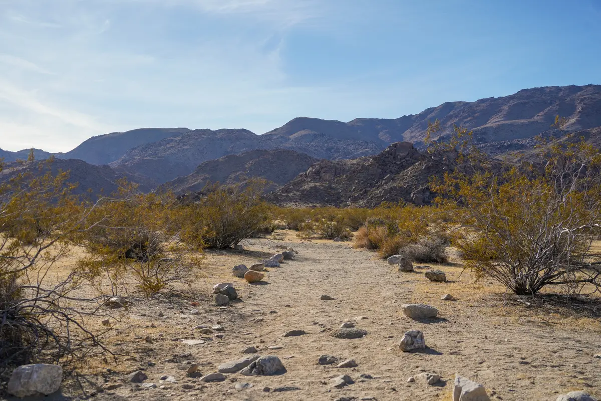
From the unsigned trailhead half a mile south of the North Entrance Station, you'll drop into a wide sandy wash marked by red hiker signs. The walking here is nearly flat, soft sand that makes for slow but easy progress. The key navigation point comes when you need to spot three cairns — two large, one small — marking where you leave the wash to connect with the old mining road.
Miss these cairns and you'll continue up the wash indefinitely. They're positioned where a short ravine opens up, but the transition isn't obvious if you're not watching for it. Once you find the connection, the route becomes a recognizable vehicle track climbing over increasingly stony ground.
The mine site itself sits in a natural amphitheater with expansive views back toward the Twentynine Palms area. Three vertical shafts are enclosed by metal structures for safety, but you can peer into the workings and get a sense of the scale. Scattered around the site are the remains of a winch, generator parts, and traces of the tram track that hauled waste rock to the dumps below.
Tips & Logistics
Winter through early spring offers the best hiking weather, though this trail works well into May if you start early. Avoid summer entirely — there's no shade and the dark rock absorbs heat mercilessly.
Parking accommodates maybe ten cars in a marked area on the southwest side of the road. The lot fills on busy weekends, but weekday crowds are light. Since this is outside the main entrance, you'll still need to pay park entrance fees if you plan to explore other areas.
Bring more water than you think you need. The sandy wash hiking is deceptively tiring, and the final climb can be a slog in warm weather. Navigation tools help but aren't essential if you're paying attention to the cairns and following the red markers.
The historic artifacts are protected — look but don't touch or remove anything. The site has survived nearly a century of desert weather and occasional visitors; treat it with the respect that preservation requires.
This trail works well as a warm-up for longer desert routes or as a standalone objective when you want something more substantial than the park's shorter nature walks. The combination of route-finding practice and legitimate historical interest makes it worth the modest effort.