The Bajada Trail drops you into the Colorado Desert's harsh beauty without the commitment of a backcountry slog. This quarter-mile loop near Joshua Tree's southern boundary showcases plants that thrive where most life gives up — a quick education in desert adaptation that's accessible to anyone who can handle sand and zero shade.
Trail Details
- 🏃Activities
- Hiking
- 📊Difficulty
- Easy
- 📏Distance
- 0.25 miles
- 🪨Surface
- sand
- 🌤️Best Seasons
- october, november, december, january, february, march, april, may
- 📍Location
- CA
- 🐕Dogs Allowed
- No
- 💵Fee
- Free
Overview
At 15 minutes of walking time, the Bajada Trail isn't about the journey. It's about seeing how desert vegetation changes when you drop elevation and rainfall. The trail sits much lower than the Joshua tree forests up north, in a zone where creosote, ocotillo, and cholla have evolved different survival strategies. Interpretive signs along the route explain these adaptations, but the real education is visual — seeing how sparse the vegetation becomes when annual rainfall drops to nearly nothing.
The loop meanders through what botanists call the Colorado Desert community, a plant association that extends south into Mexico. After wet winters, February and March can bring wildflower displays, but most of the year the palette is muted greens and browns against the Cottonwood Mountains backdrop.
What to Expect
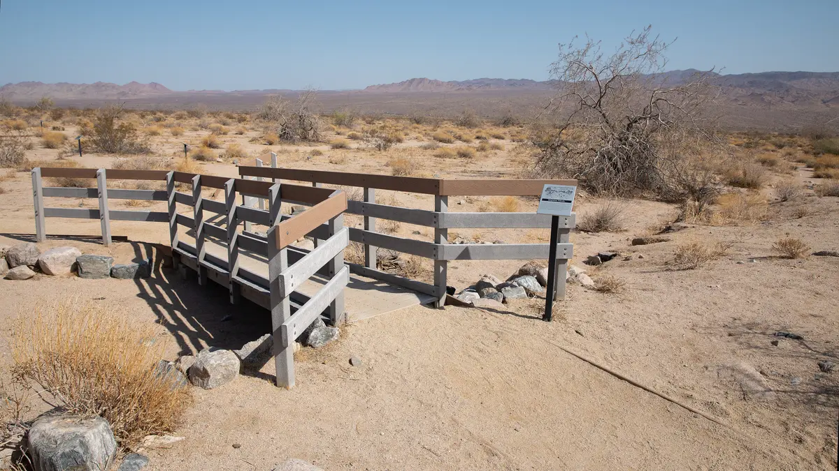
The trail surface alternates between hard dirt with gravel and sections of deep sand that can slow your pace. You'll cross a short boardwalk section where the trail narrows — the only real feature to navigate on an otherwise straightforward loop. The 5 feet of elevation change and 12 feet of accumulated gain mean the terrain barely registers as hiking, more like a desert stroll with educational stops.
Don't expect dramatic vistas or Instagram moments. The appeal is subtler: learning to read desert plant communities and appreciating adaptations that aren't obvious until someone points them out. The interpretive signs highlight specific plants and their survival mechanisms, from waxy coatings that prevent water loss to root systems that extend far beyond what you see above ground.
The trail offers essentially no shade, so the desert sun hits directly. On summer days, this becomes genuinely unpleasant within minutes. Even in cooler months, bring a hat and sunglasses.
Tips & Logistics
The trailhead sits on Cottonwood Springs Road, 1.5 miles north of the I-10 exit 168. Here's the unusual part: you're technically inside Joshua Tree National Park boundaries, but south of the fee station, so no entrance fee applies. The parking area has space for RVs and 11 total spots including one accessible space.
No restrooms at the trailhead — the nearest facilities are 5.6 miles north at the Cottonwood Visitor Center. For a 15-minute walk, this shouldn't matter, but worth knowing if you're traveling with kids.
Winter through late spring (October through May) offers the best conditions. Summer heat makes even this short trail miserable by mid-morning. If you're visiting during potential wildflower season (February and March after wet winters), check recent rainfall reports or ask at the visitor center.
No permit required, no water sources, no real gear considerations beyond sun protection. The trail works for families and serves as a decent introduction to Colorado Desert ecology before tackling longer routes in Pinto Basin. Just don't expect wilderness solitude — you're close enough to the interstate to hear traffic on calm days.