The 1.4-mile Arch Rock Trail delivers exactly what it promises: a natural sandstone arch you can walk through, plus views of Joshua Tree's signature granite formations. This is desert hiking stripped to essentials — sandy washes, scattered boulders, and a rock feature that draws families and first-time visitors for good reason.
Trail Details
- 🏃Activities
- Hiking
- 🔁Trail Type
- out and back
- 📏Distance
- 1.4 miles
- 🪨Surface
- sand and rock
- 🌤️Best Seasons
- october, november, december, january, february, march, april, may
- 📍Location
- CA
- 🐕Dogs Allowed
- No
- 💵Fee
- Free
Overview
The trail follows a lollipop design through typical Joshua Tree terrain: open desert punctuated by monzogranite outcrops. You'll walk 0.6 miles straight east from the parking lot, hitting the loop section where Arch Rock sits about 0.1 mile into the circuit. The arch itself spans roughly 30 feet — large enough to frame photos but not so dramatic it overshadows the broader desert landscape around it.
This is fundamentally an accessibility trail in Joshua Tree terms. The 100 feet of elevation change barely registers, and the 30-minute hiking time makes it manageable for most fitness levels. That said, the terrain shifts from sandy washes to rocky sections that require attention to foot placement, especially on the loop portion.
What to Expect
The initial stretch from Twin Tanks parking lot runs through classic Mojave Desert: scattered Joshua trees, creosote bush, and sandy trail that can feel soft underfoot. Trail width varies considerably — sometimes opening to 4 feet, other times narrowing to 1-2 feet between rock formations.
The loop section changes character entirely. Here you're navigating uneven rocky surfaces mixed with patches of deep sand and hard-packed dirt. The terrain becomes more technical without being difficult — just pay attention to where you're stepping. Walking the loop counterclockwise puts you in better position to appreciate the arch's formation and size.
Beyond Arch Rock itself, the route offers views of Whale Rock and an optional detour to Heart Rock. These aren't dramatic landmarks, but they add context to the broader geological story playing out across this section of the park.
Tips & Logistics
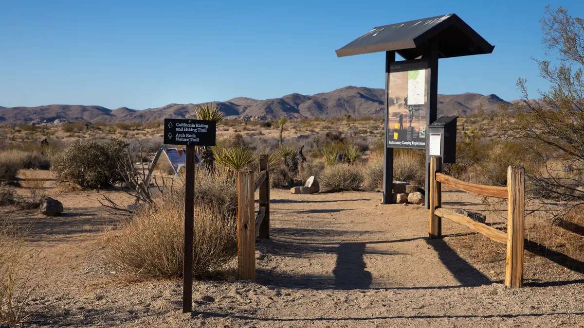
The trailhead sits at Twin Tanks parking lot, located 1 mile south of Belle Campground on the west side of Pinto Basin Road. From the Park Boulevard and Pinto Basin Road intersection — 4.5 miles south of the north entrance — head southwest on Pinto Basin Road for 2.2 miles to reach the parking area.
White Tank Campground offers an alternative access point that cuts the hike to just 0.3 miles roundtrip, but this option is reserved for registered campground guests only.
Standard desert precautions apply: no shade exists along the route, and cell service is nonexistent. Summer hikers should start before 10 AM to avoid the worst heat. Carry water even on this short route — the combination of sun exposure and sandy terrain can be dehydrating.
The trail passes White Tank Campground during the loop section. Quiet hours run from 10 PM to 8 AM, so early morning or late evening hikers need to keep noise levels down out of respect for sleeping campers.
Park entrance fees are $30 per vehicle for a seven-day pass. The standard national park pet policy applies: no dogs allowed on trails, though service animals are permitted on a six-foot leash.
Navigation after dark becomes challenging despite the relatively straightforward route. The rocky loop section and varying trail width can be disorienting without good light, even though the area remains open at night.