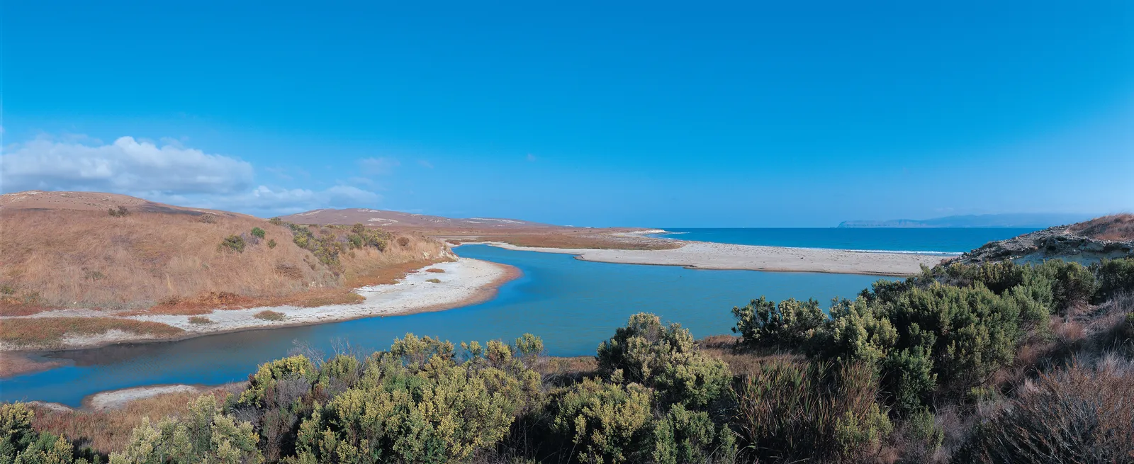
Abalone Rocks Marsh sits just north of East Point on Santa Rosa Island, the second largest wetland on the northern Channel Islands after the Prisoners Harbor wetland on Santa Cruz. The freshwater habitat is rare on the islands, where dry summers run nine to ten months.
Details
- Type
- Point of Interest
- Accessibility
- Limited accessibility
Overview
The marsh lies on the southeast side of Santa Rosa Island, north of East Point. Over 90 percent of California's coastal wetlands have been eliminated, which makes a standing wetland like this one ecologically significant. It holds water through the long dry season, giving island wildlife a source of moisture when most of the landscape is brown.
What to See
The wetland draws the island fox and provides a resting and feeding stop for migratory birds, along with nesting habitat for resident waterfowl. Bird activity is highest during migration periods.
A Record of Climate Change
Sediment cores from the marsh preserve a long record of vegetation and fire on Santa Rosa Island. The cores show that forest communities gave way to mixed grassland and scrub around 12,000 years ago. After roughly 6,900 years ago, precipitation increased and a mix of grassland, oak grassland, pine woodland, and coastal scrub developed. That same period of more frequent fire corresponds with Island Chumash settlement, evidence that Indigenous burning shaped the northern islands. More recent layers record a shift back toward grassland after non-native grazing animals were introduced.