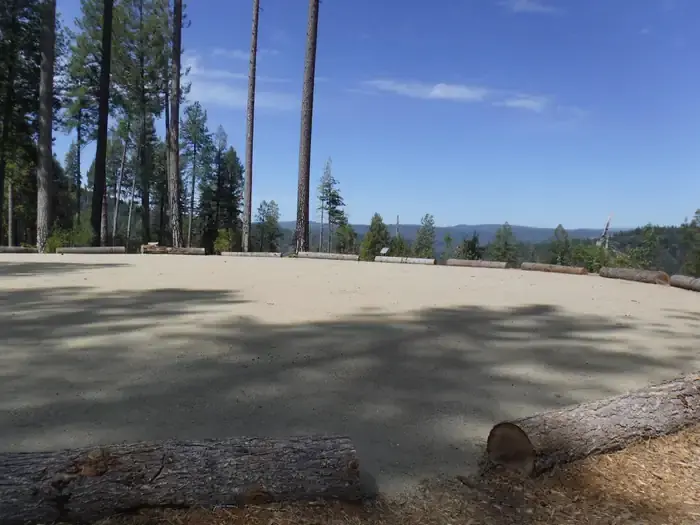
Cottage Creek Campground sits above Bullards Bar Reservoir with views across the water and plenty of shade from surrounding conifers and hardwoods. The new facility offers double and triple sites designed for groups, making it a solid choice for families or friends camping together in the Tahoe National Forest.
Campground Details
- ⛺Type
- Group
- 💵Fee per Night
- $20
- 📍GPS
- 39.39776, -121.14829
- 🐾Pets Allowed
- No
- 📞Phone
- 530-478-6253
- 🗺️Address
- CA
The Camp
This is a newly built campground with fresh amenities throughout. The sites are configured as doubles and triples rather than standard single-family spots, so you're looking at shared spaces that work well for larger groups. Mature forest provides good shade coverage, and the steep terrain around Bullards Bar means you get reservoir views without the crowds that flat, accessible shorelines typically draw.
The reservoir setting dominates the experience here. While the steep slopes limit direct swimming access, the water offers year-round fishing for both warm and cold water species. Boaters have multiple launch options nearby, including the Cottage Creek ramp at Emerald Cove Marina and the Dark Day launch.
What to Know
This is an unstaffed facility — the main Tahoe National Forest office handles general questions at (530) 265-4531. Standard no-show policies apply, with a $20 fee if you don't arrive or cancel by checkout time the day after your scheduled arrival.
Supplies are available at Emerald Cove Marina or in the nearby communities of Camptonville, North San Juan, and Dobbins. The area supports the full range of reservoir activities: fishing, boating, water skiing, and other water sports, plus land-based options like wildlife viewing, hiking, mountain biking, and horseback riding.
Nearby
Five non-motorized trails branch out from the area, ranging from the 0.7-mile Schoolhouse Trail to the 3.8-mile 8 Ball Trail. The Bullards Bar Trailhead sits 14 miles away, while shorter options like the 1-mile 7 Ball Trail and 1.6-mile Rebel Ridge Trail offer quick day hikes. Trail maps are available at the North Yuba Ranger Station, just a couple miles east on Marysville Road.