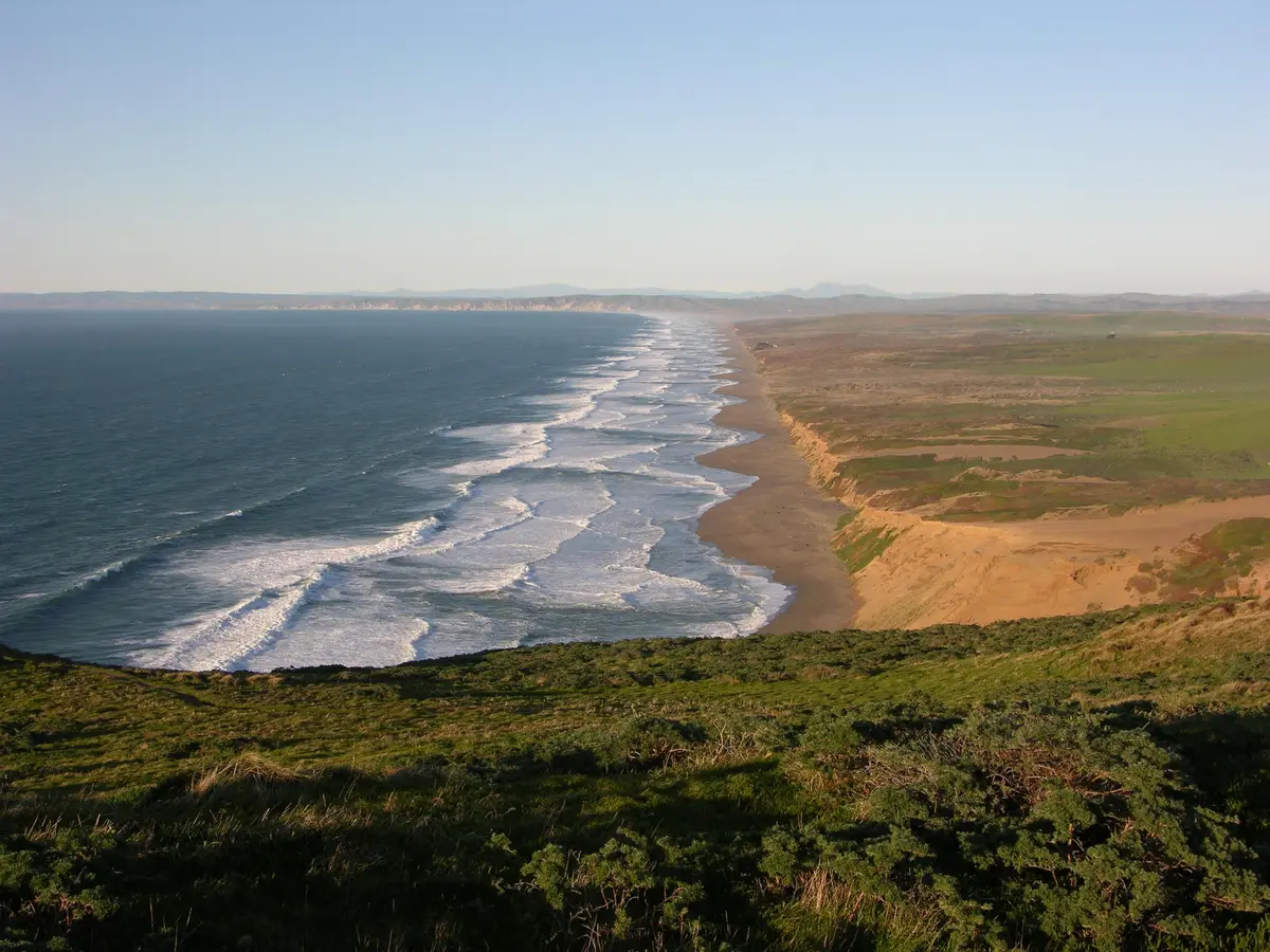
Mount Wittenberg from the Sky Trailhead is a 4.5-mile round trip and the easiest route to the highest point on Point Reyes Peninsula at 1,407 feet, gaining 750 feet from the Limantour Road trailhead. It's a moderate ascent through open coastal scrub and forest with partial ocean views near the ridge.
Overview
The Sky Trailhead approach to Mount Wittenberg starts higher than the Bear Valley route and gains less elevation over the same summit. The terrain is a mix of open coastal scrub and Douglas fir forest. Z Ranch, a historic ranch site in the seashore, is passed along the route.
What to Expect
Moderate ascent on a clear, well-maintained trail. 750 feet of gain over about 2.25 miles. The summit sits in a fir thicket that limits views; the best coastal views come from openings on the approach. The route can be combined with Bear Valley Trail for a full loop.
Tips & Logistics
The Sky Trailhead is on Limantour Road, about 10 minutes from Bear Valley. Dogs are not allowed. No permit required. This is the recommended approach if your primary goal is reaching the summit.