The Kings Creek Falls trail drops 486 feet through subalpine meadow and cascades to reach a 30-foot waterfall at 2.3 miles round trip. Most hikers loop back via the Upper Cascades route, making it a varied walk through some of the park's most accessible alpine terrain.
Overview
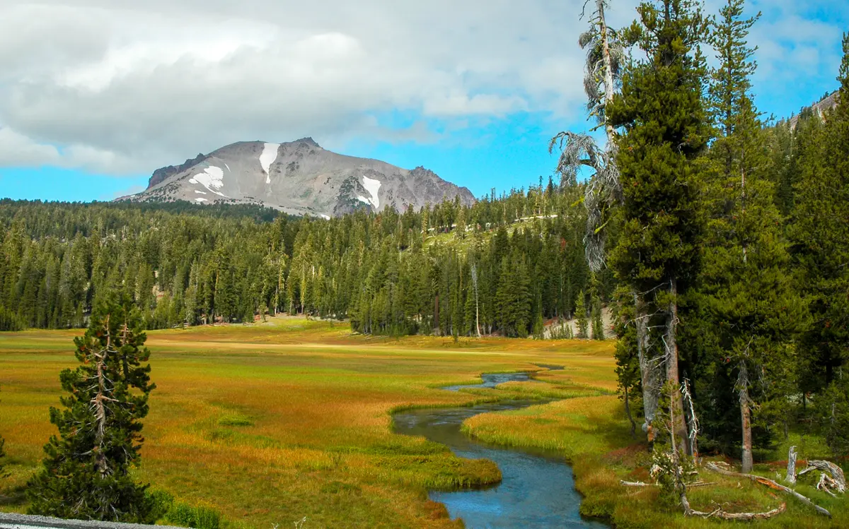
Kings Creek drains off the southern flank of the park's volcanic plateau, and the trail follows it through meadow and then down a series of cascades before reaching the main falls. The falls themselves drop about 30 feet into a narrow canyon draped in ferns — a sharp contrast to the open, rocky landscape most of Lassen is known for.
What to Expect
The loop starts at the Kings Creek Trailhead near the Kings Creek Picnic Area on the Lassen Volcanic Highway. The upper section descends gradually through meadow alongside the creek. The lower section uses a steep stone staircase — the Cascades Foot Trail — which is narrow and can be slick. At the falls, a fenced overlook provides a view of the drop. The return via the Upper Cascades route climbs gradually back to the trailhead.
Tips & Logistics
The trail opens in June when snow clears and closes in October. Spring and early summer bring the highest water flow — impressive, but creek crossings can be hazardous during peak snowmelt. Parking at the Kings Creek Picnic Area is limited and fills on summer weekends. No permit required. Dogs and stock are not allowed on the Cascades Foot section. Allow 2 hours for the full loop.