The Sky-Woodward Valley-Fire Lane Loop is a 9.5-mile circuit from the Sky Trailhead that descends from forested Inverness Ridge through coastal scrub to the coast, then climbs steeply back via the Fire Lane Trail. Most of this area burned in the 2020 Woodward Fire, which significantly changed the landscape character.
Overview
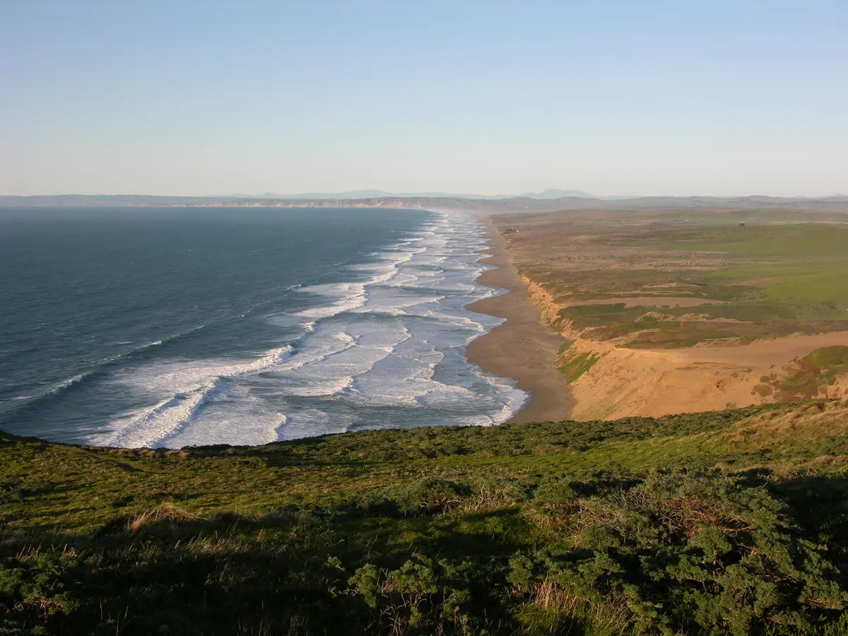
The route descends from the Sky Trailhead on Limantour Road, dropping through the recovering burn area of Woodward Valley to reach the Coast Trail and Santa Maria Beach on Drakes Bay. The return via the Fire Lane Trail climbs steeply through forest back to the ridge. Pre-fire, Woodward Valley was a dense, lush fir forest; post-fire, it's more open with views that didn't previously exist.
What to Expect
Descending is straightforward; the return climb via Fire Lane is steep and sustained, with 1,400 feet of total gain when combined with the descent. The coastal section along the Coast Trail offers bay views. No potable water along the route beyond the trailhead.
Tips & Logistics
The Sky Trailhead is on Limantour Road, about 10 minutes from Bear Valley. Dogs are not allowed. No permit required. Allow 5–6 hours. The most comfortable seasons are spring and fall; summer fog reduces coastal views but keeps temperatures cool.