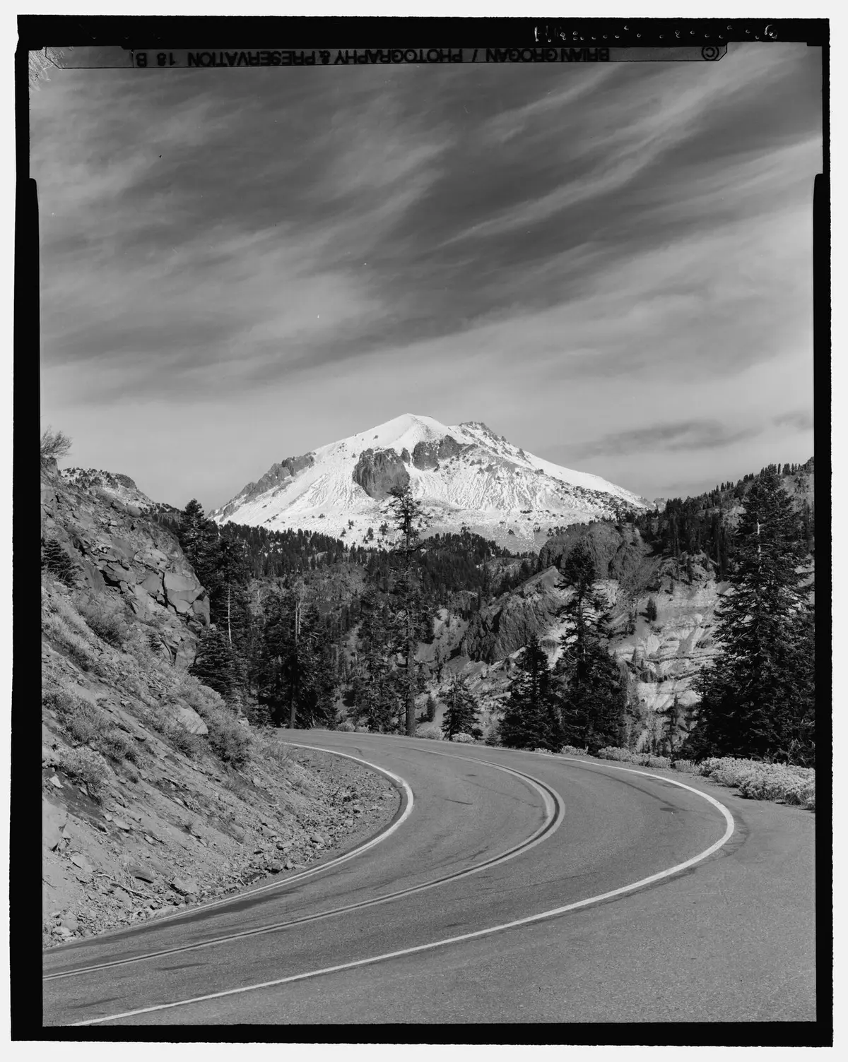
The Lassen Peak trail climbs 1,957 feet in 2.5 miles from the trailhead at 8,500 feet to the summit of an active plug dome volcano at 10,457 feet — the highest point in the park. The 5-mile round trip takes most hikers 4–5 hours, with continuous switchbacks, little shade above the first mile, and snow persisting on the upper trail well into summer.
Overview
Lassen Peak last erupted in 1915, and the summit landscape still shows it — bare volcanic rock, sparse whitebark pine and mountain hemlock only at the lower elevations, then nothing but stone and sky. On a clear day the views extend to Mount Shasta to the north, the Sacramento Valley to the west, and across the park's volcanic plateau in every other direction.
What to Expect
The trail starts at the Lassen Peak Trailhead at 8,500 feet and climbs via switchbacks along the southwest ridge. There's minimal shade after the first mile. The surface is packed dirt transitioning to loose volcanic rock near the top. Snow lingers on the upper trail into July in average years, and sometimes longer. Check current conditions before heading up — patches of ice on the descent can be genuinely hazardous. The crater rim is accessible at the top.
Tips & Logistics
Start by 9am if possible, especially in summer — afternoon thunderstorms build quickly at this elevation and lightning exposure on an open ridge is a real concern. The trailhead is along the main Lassen Volcanic Highway (Highway 89) and is well-signed. No permit is required, but the park entrance fee applies. There's no water on trail; bring at least two liters. Altitude effects are common even from the trailhead. Dogs are not allowed on this trail.