The Juniper Canyon Trail Loop climbs 1,215 feet over 4.3 miles from the west entrance through steep canyon switchbacks to the High Peaks formation, traversing the Steep and Narrow section with carved handholds and a hand-cut rock tunnel. It's the main approach to the High Peaks from the west side.
Overview
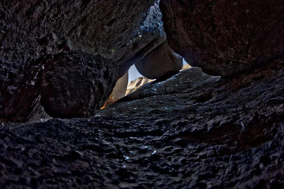
The west-side approach to the High Peaks is steeper and more dramatic than the Condor Gulch route from the east. Juniper Canyon rises quickly through chaparral before the trail narrows into the rock formation. A tunnel blasted through a boulder during early park development provides the most unusual moment on the route.
What to Expect
The loop covers the main High Peaks formation, including the Steep and Narrow section that requires using both hands for balance on an exposed rock face. No shade on the exposed sections. The route returns via a different spur, completing the loop back to the Chaparral Trailhead. Temperatures in the rocks run hotter than the valley.
Tips & Logistics
The west entrance is accessible from King City via Highway 146. Reservations may be required for day use at busy periods — check the park website. No water on trail. Start early in summer. Allow 3–4 hours. No dogs allowed.