Type
Peak
Location
41.7383°N 121.5290°W
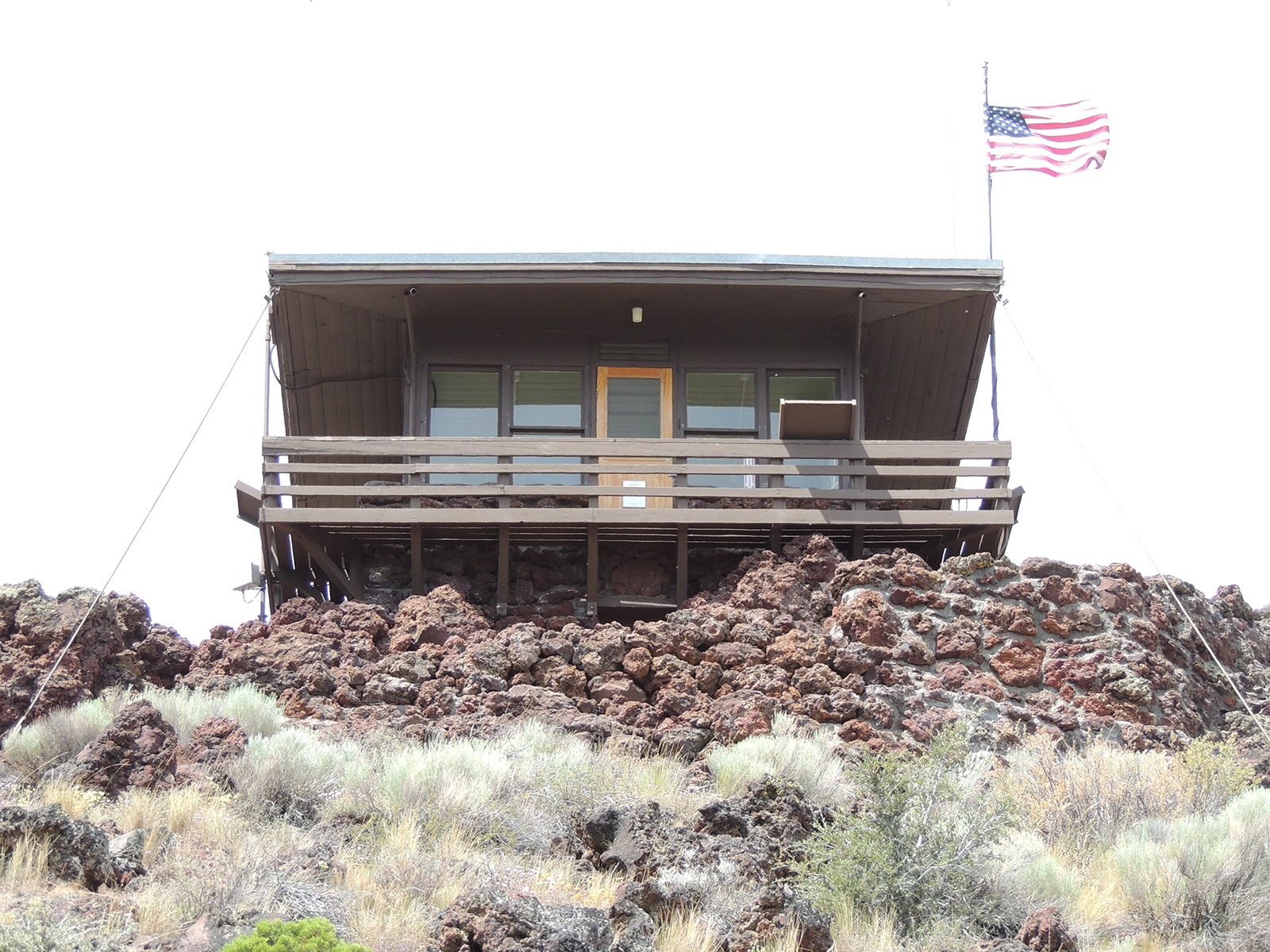
Schonchin Butte is a cinder cone in the center of the monument topped by a fire lookout built by the Civilian Conservation Corps in the 1930s. A steep 0.7-mile trail climbs to the summit.
Details
- Type
- Peak
- Accessibility
- Limited accessibility
The climb
The trail gains about 500 feet over 0.7 mile to reach the lookout. The Civilian Conservation Corps built the trail first, then carried up by hand all the materials needed for the lookout itself. The butte is one of many cinder cones across the Medicine Lake shield volcano.
At the summit
The lookout has a balcony with interpretive panels naming landmarks in all four directions, including views over the monument, the Tule Lake Basin, and the surrounding mountains. In summer a firefighter may be on duty and runs a Junior Fire Lookout program for children.