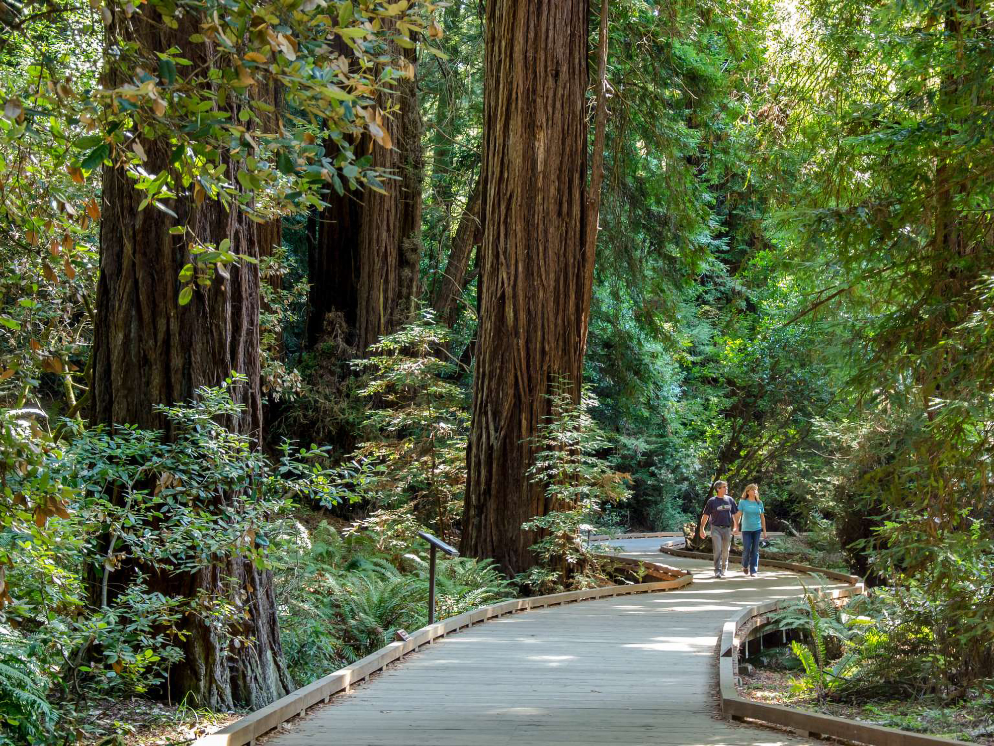
Redwood Creek Trail is the main route through Muir Woods and the link to the longer trails climbing Mount Tamalpais. From it, hikers can reach the Canopy View, Hillside, Fern Creek, and Ben Johnson trails.
Details
- Type
- Trailhead
- Accessibility
- Limited accessibility
Overview
Redwood Creek Trail runs the length of Muir Woods and serves as the spine of the trail network. It connects to the Canopy View, Hillside, Fern Creek, Plevin Cut, and Ben Johnson trails, and from there to the slopes of Mount Tamalpais.
Beyond the Monument
The trail also opens access to surrounding public lands, including state park, Marin County park, and Marin Municipal Water District open space. Hikers using it to reach those areas should plan for longer distances and more elevation than the flat valley floor. The monument is part of Golden Gate National Recreation Area.