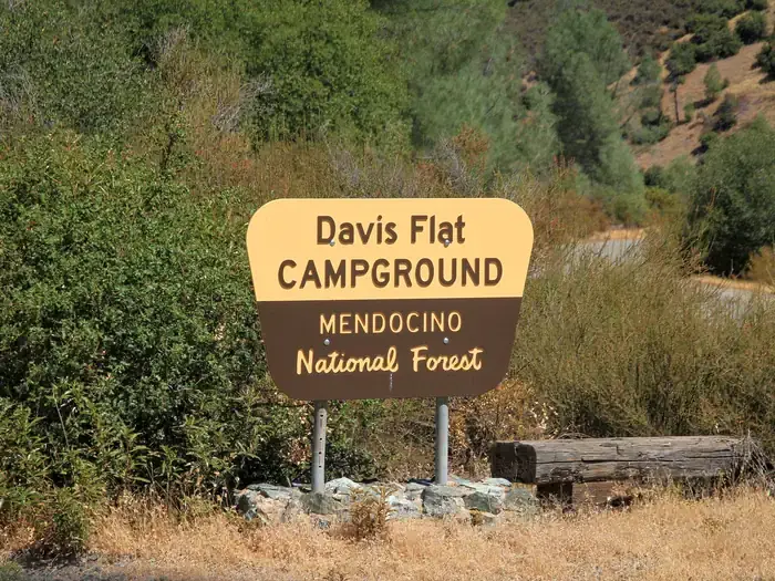
Davis Flat sits squarely in OHV country, built for riders who want a base camp for exploring Mendocino National Forest's trail network. With 20 first-come sites and room for 50-foot trailers, it's a straightforward staging area rather than a scenic retreat.
Campground Details
- ⛺Type
- Developed
- 🏕️Total Sites
- 20
- 💵Fee per Night
- $5
- 📋Reservations
- First-Come, First-Served
- 📍GPS
- 39.36294, -122.65372
- 🐾Pets Allowed
- No
- 📞Phone
- N/A
- 🗺️Address
- CA
Amenities
The Camp
Davis Flat functions as a utilitarian hub for off-highway vehicle enthusiasts. The 20 sites come with standard Forest Service amenities — picnic tables, fire rings, and vault toilets — spread across terrain that transitions from low chaparral to mixed pine and fir forest. Four dumpsters handle the volume from what can be a busy staging area during peak riding season.
The campground accommodates RVs up to 50 feet, making it accessible for groups hauling multiple ATVs or dirt bikes. Sites operate on genuine first-come, first-served basis — no reservations, no advance planning. You claim a spot by showing up.
What to Know
Payment works through QR codes and the Recreation.gov mobile app, but download it before you arrive. Cell service gets spotty in these hills, and you'll need the app functional to pay your $5 nightly fee.
California OHV regulations apply strictly here. Green or red sticker registration is mandatory, helmets required for all motorcycle riders, and sound levels capped at 96 decibels. Spark arresters must be Forest Service approved and properly installed. The Stonyford Work Center at (530) 963-3128 provides current trail conditions and closure information for the Grindstone District.
Nearby
The real draw lies beyond camp: over 200 miles of OHV routes threading through the southern Grindstone District. The designated Mendocino OHV Corridor runs 40 miles east-west across the forest, connecting staging areas at Stonyford and Upper Lake. Forest Service roads double as public OHV routes, funded through California's Green Sticker program.
Routes range from accessible forest roads to technical single track. The Stonyford Area Motor Vehicle Opportunity Guide maps the full network for trip planning.